26 miles/42 km
Total miles: 265 miles/427 km
As there were some strong winds coming in today with ex-TS Alex crossing the north, it wasn’t a good idea to camp on top of the Cheviots. We decided instead to do the 26 mile traverse in one day. This is challenging not just due to the distance, but the terrain involved with a significant amount of ascent and descent required to make Kirk Yetholm. We were lucky in that the prevailing winds today would be southwesterly so the wind would be at our back for the first half of the day. The trail north of The Cheviot, however, would have a strong side wind to contend with.
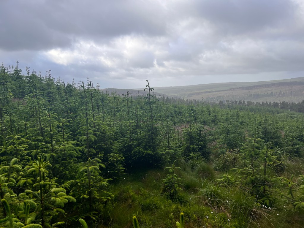
We rose early and were off by 6.30 AM with everything all packed up. It had rained lightly on and off during the night but we had managed to get our gear mostly dry and, after breakfast, it was the start of a long day. The trail out of Byrness involved a walk back along the road to the church, then a really steep but short climb out of Byrness onto the border ridge. This is a much easier climb than the 10km climb you would have climbing out of Kirk Yetholm.
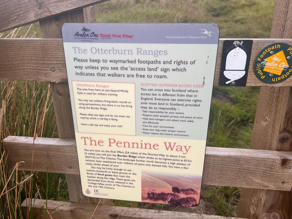
The sign reminded us that this was area was bound by a live firing range and we could actually hear the artillery firing regularly during the first half of the day. This was not an area to stray off path.
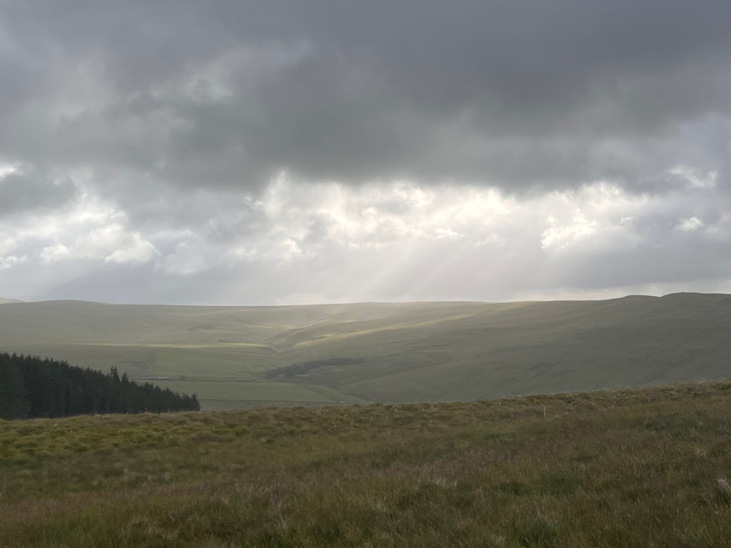
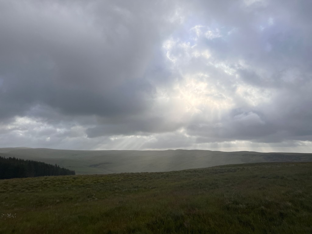
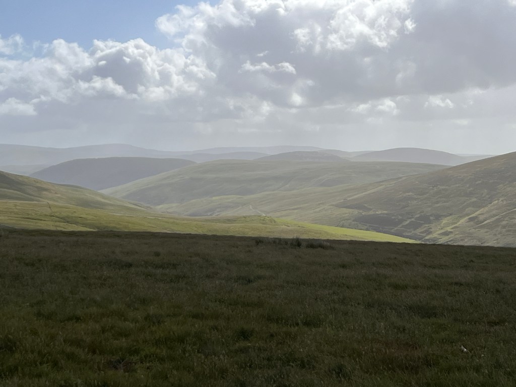
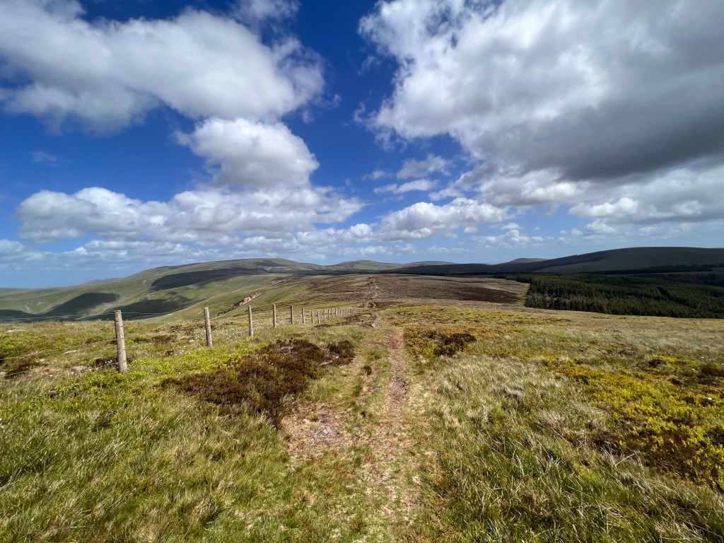
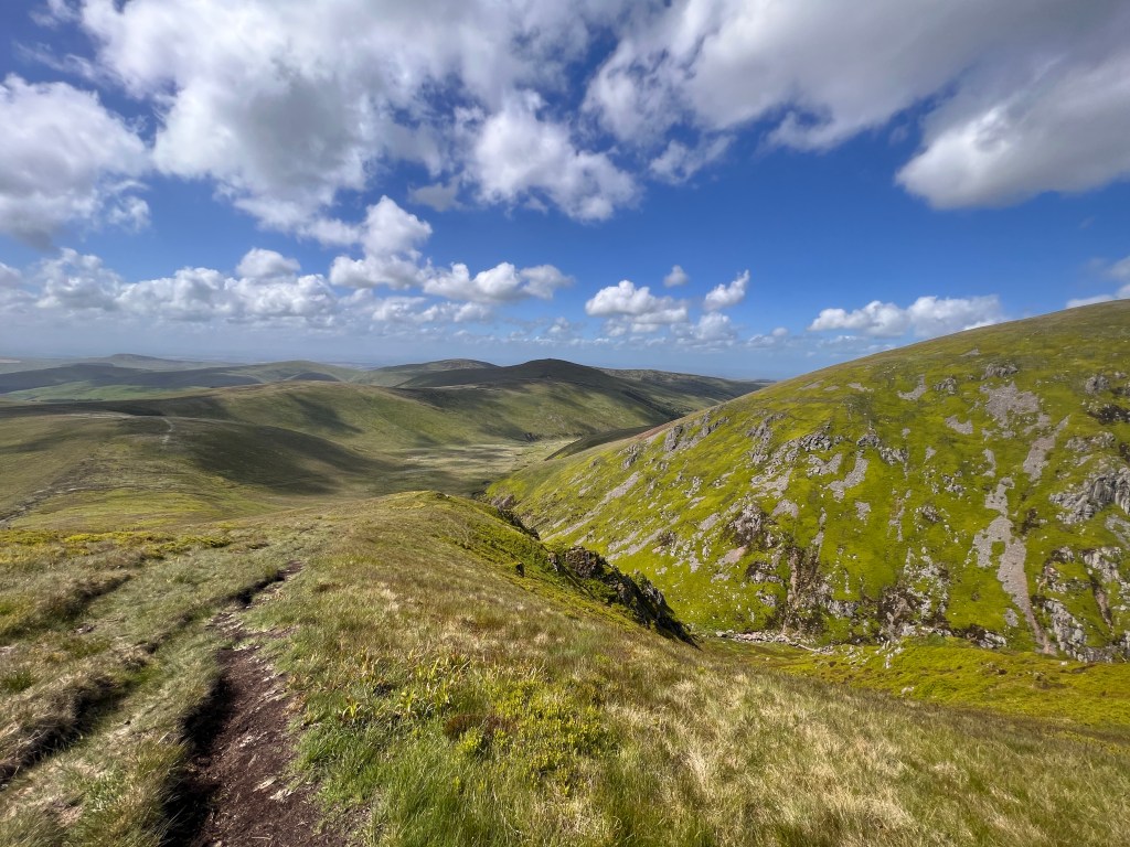
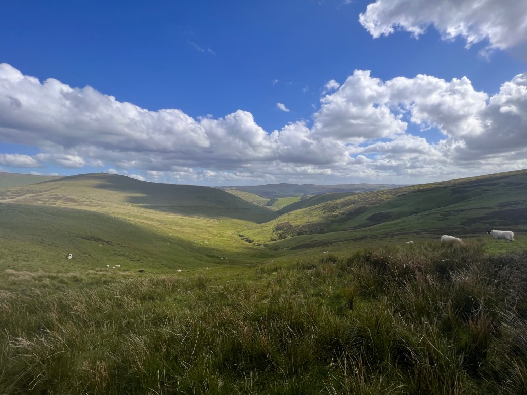
The initial climb out of Byrness Valley completed, we arrived at the top of the border ridge between England and Scotland. We would follow this ridge for more or less the whole day with only the fence line separating the two countries between us. It was suddenly cold and windy as we reached the border ridge so it was time to don jackets to try and keep the wind off. Fortunately, although it was a little threatening, there was no rain. We have been very lucky with the weather when it counted on this walk – both the Cheviots and Cross Fell have had fine weather.

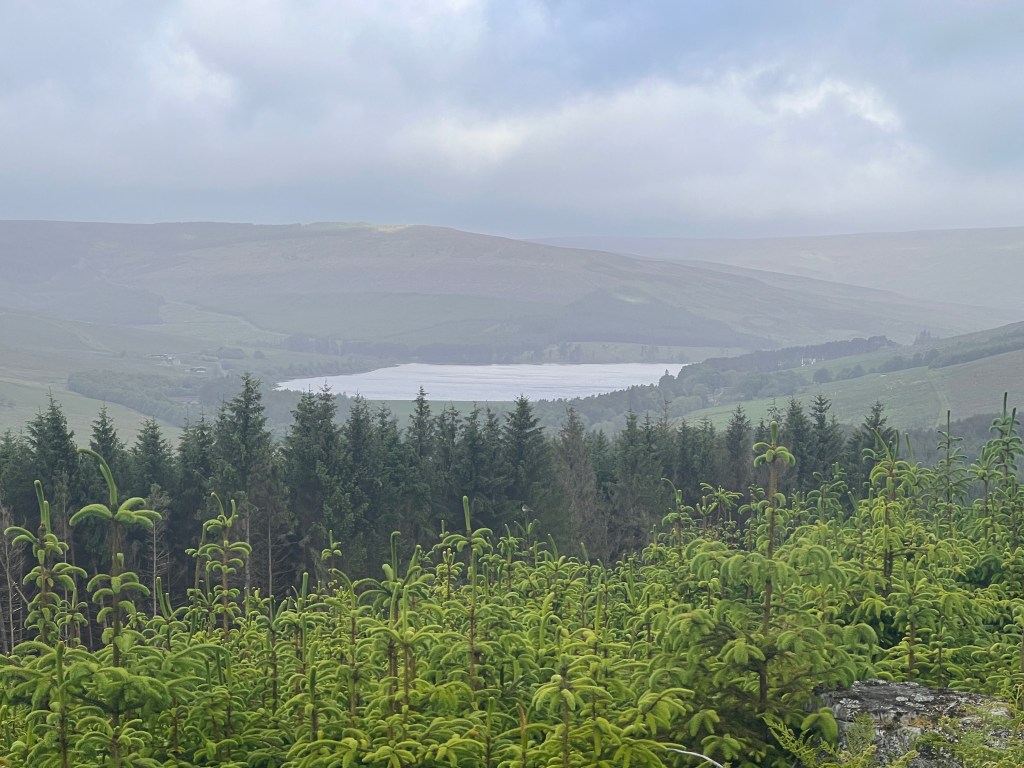
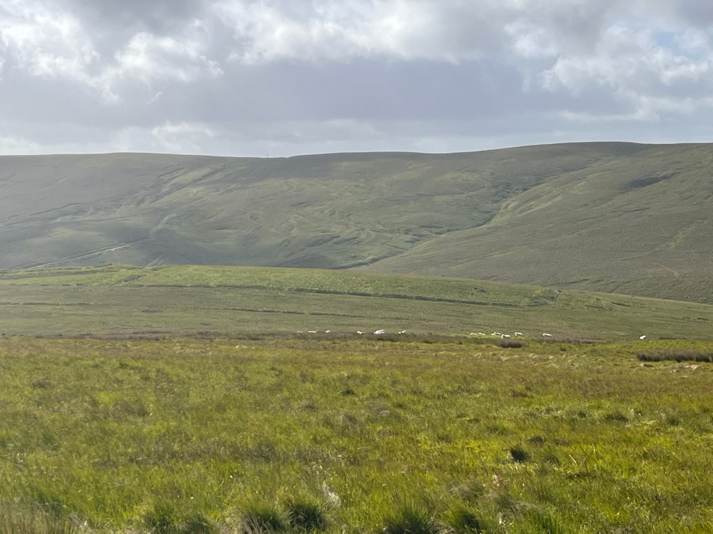
After tracking northwards along the ridge for a while, our first target was Chew Green. Here, the trail has two options. You can add an extra kilometre by descending to an old Roman marching camp built by Agricola or maintain the high ground and continue straight on. As we would be doing plenty of marching of our own today, we decided to stay on the main route. We got plenty of views of the camp as we continued on our way.
The views looking back along the border ridge were a little foreboding with the sun just reaching its fingers through the clouds. We were really hoping that it wouldn’t start to rain given how exposed it was but it held off and improved as the day progressed.
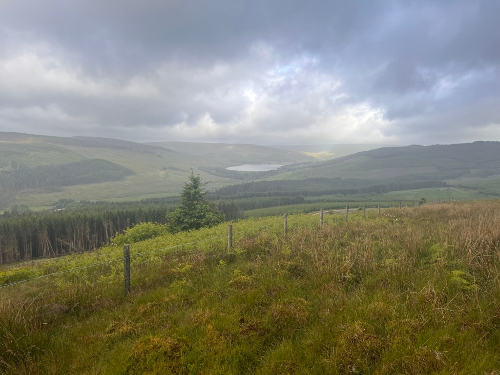
After climbing Raven Hill, we descended down to the fence line and across into Scotland. The Way actually criss crosses the border numerous times during the first part of the day before permanently crossing over later on. I was expecting a big border sign, perhaps with a Scottish person there playing bagpipes in a kilt to welcome us, but instead was only greeted with sodden moorland making it difficult to find a dry spot to rest. Rather grumpily, I reluctantly moved on as the trail climbed again along the fence line.

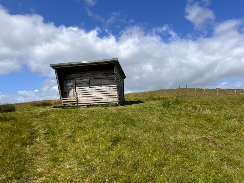
The main part of the Cheviots has two mountain refuge huts, one on each side of The Cheviot, which is the highest mountain in the range. We stopped at Yearning Saddle refuge hut for a quick break and had a good chat to a fellow walker who we’d met at the start of the day and then caught up. He was a local, who had been in the infantry in many wars from Bosnia to Afghanistan, but was now retired. He was able to give us some invaluable advice in relation to our traverse. The hut itself was small, and there would be no way I would want to overnight there as I know some walkers were planning.
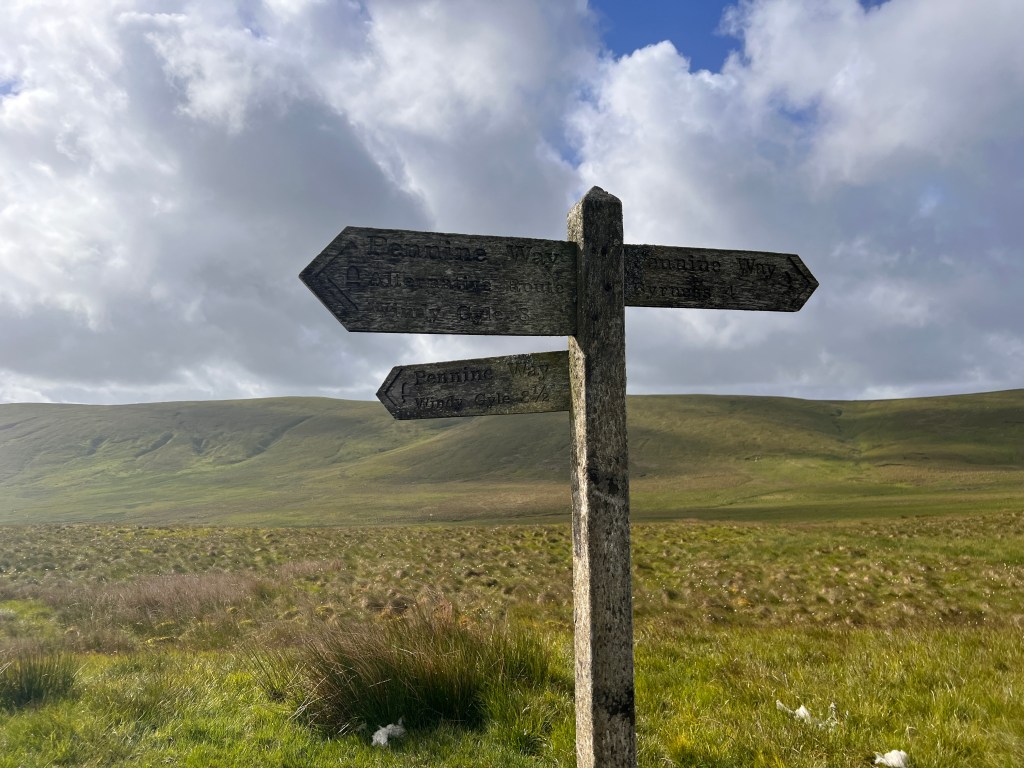
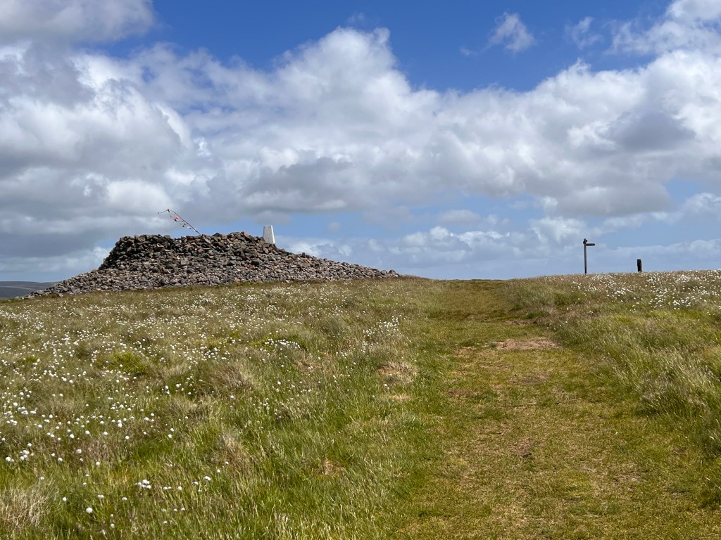
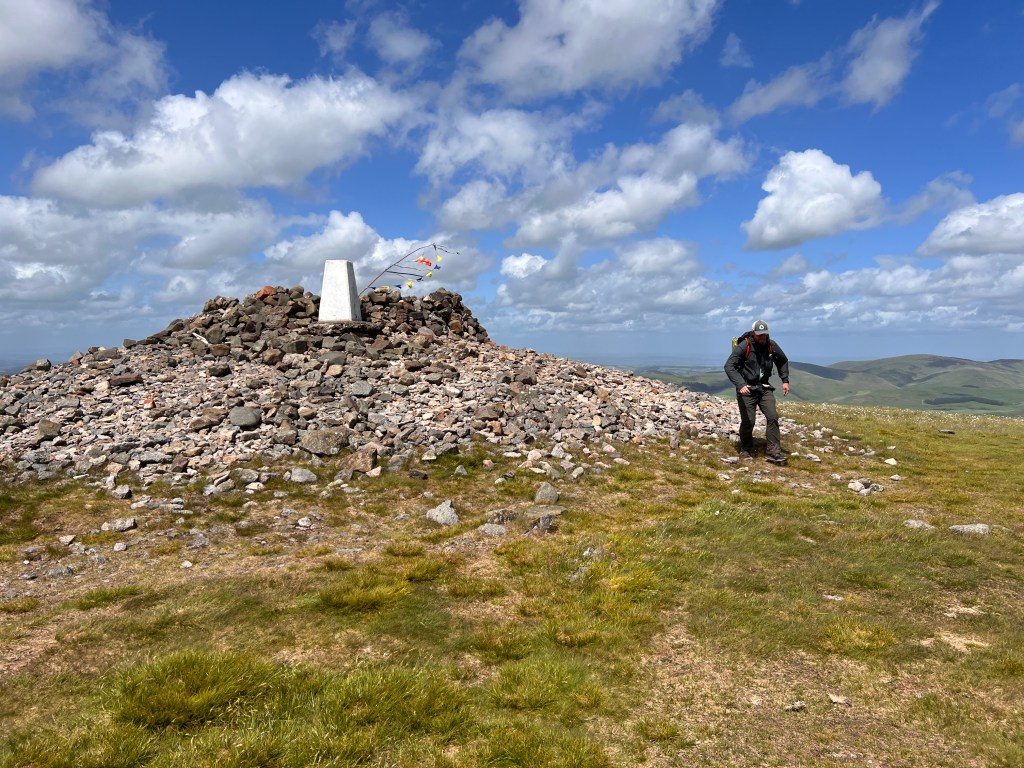
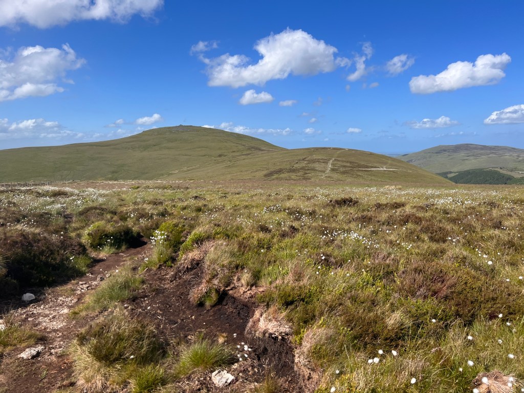
It was now time to reach our halfway point for the day, the summit of Windy Gyle. The place was definitely living up to its billing today as the wind became almost overpoweringly strong as we climbed up to the summit. We had to cross a very exposed saddle just before the final climb up to the summit and were very nearly blown off our feet. We had to occasionally stop just to brace ourself against the wind as it rose from the nearby valley and accelerated across the top of the saddle. The forecast was predicting 60 kph sustained winds gusting to 80-90 kph but it would have been higher across this peak.
After battling the wind, we struggled up the final climb and reached the summit. There is a summit shelter there which tries unsuccessfully to block the wind. However, it was better than nothing, so we stumbled up to the top and collapsed in an exhausted heap behind the rocks. There was a nice group up there who asked us lots of questions about our experiences so far and congratulated us ahead of finishing the Way later on today.
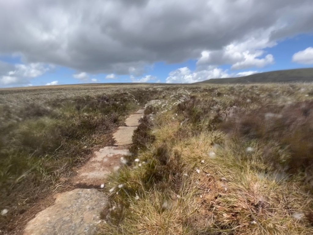
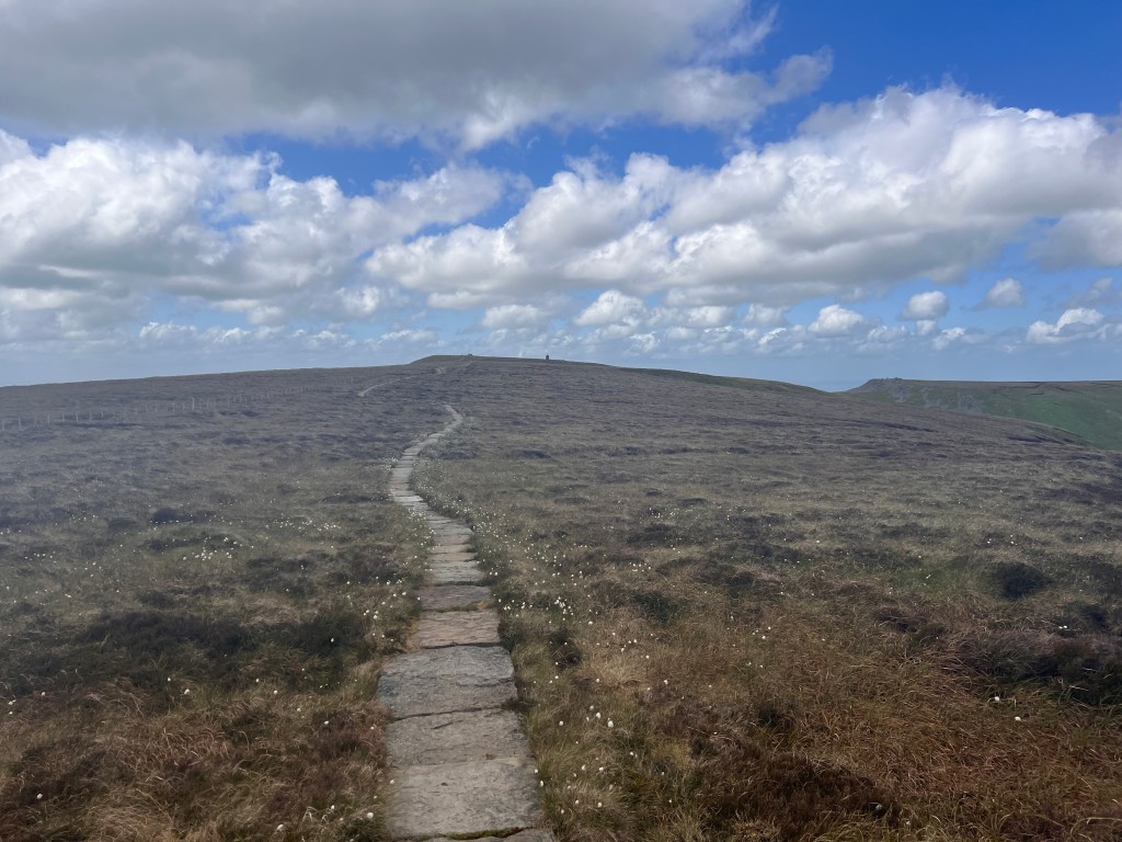
The Way then descended down what would have been an extremely boggy section of moorland. However, we had been warned by two walkers earlier in the day to descend on the English side rather than the Scottish side, as this was paved more or less the whole way to Kirk Yetholm. This made the going much easier and faster and we were grateful to not have to deal with the peat bogs.
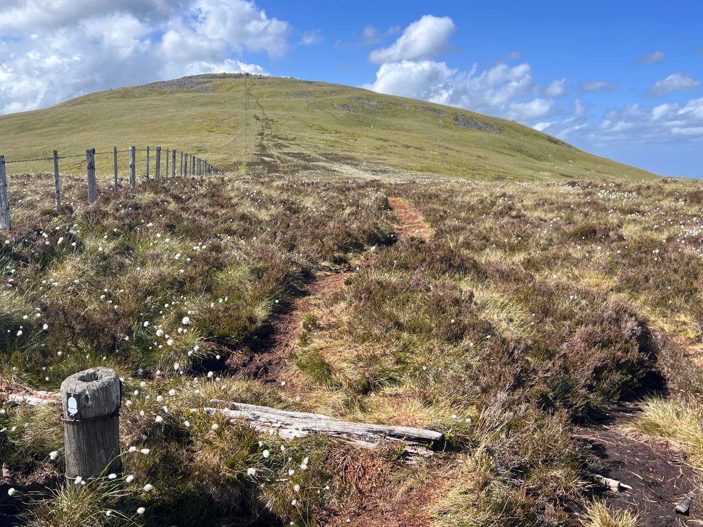
Following the border fence and descending took us to the turn off to The Cheviot. Along the way, we met a mountain biker, only our third for the entire Pennine Way. We had a good chat and he congratulated us on our efforts. We then made the turn off for The Cheviot and continued up to Auchope Cairn. The wind was blowing a gale again and we sheltered behind a rock cairn as we had a break. Descending from there, we were again almost blown off the mountain and it was exhausting work trying to walk in a straight line with the wind blowing us from the side.
We passed the last mountain refuge hut and then continued on to the last big climb of the Pennine Way known as the Schil. By this point, we were fairly tired but pushed on to climb up the peak. The difficulty was not so much the gradient or the distance, but battling the wind which was trying to push us sideways off the path at any opportunity.
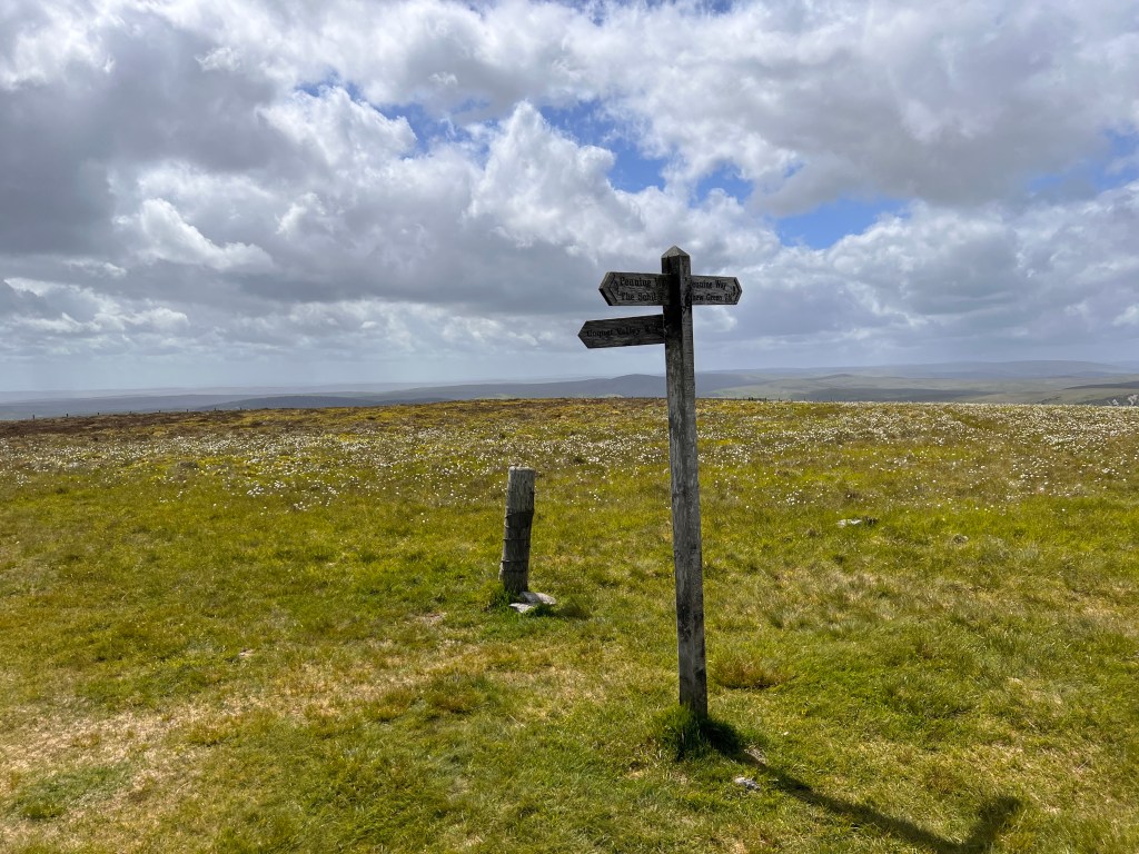
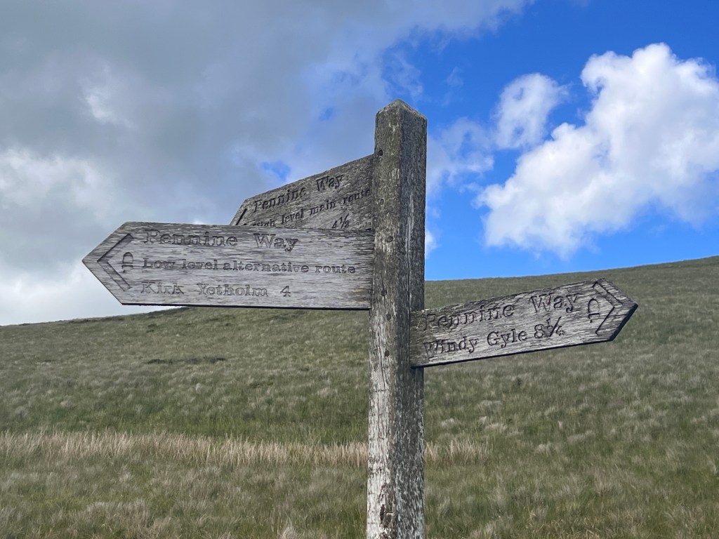
Having reached the summit of the Schil in one piece, it was now downhill all the way. We saw our first sign for Kirk Yetholm which was really encouraging until we saw there was still 4.5 miles to go. Descending further from here, there are two options here with the Pennine Way branching into a low route and a high route, the latter of which is longer. Given our long mileage today, we opted for the low route and descended down the valley.
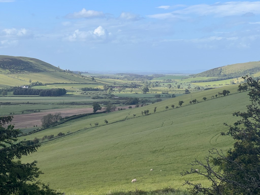
On its final stretch into Kirk Yetholm, the Way descends through some fine Scottish views before finally entering farmland. It was strange to walk through farmland, on a proper road, and see signs of civilisations as we really hadn’t seen this since Bellingham. Our feet by this time were crying out for a break but we kept pushing on.

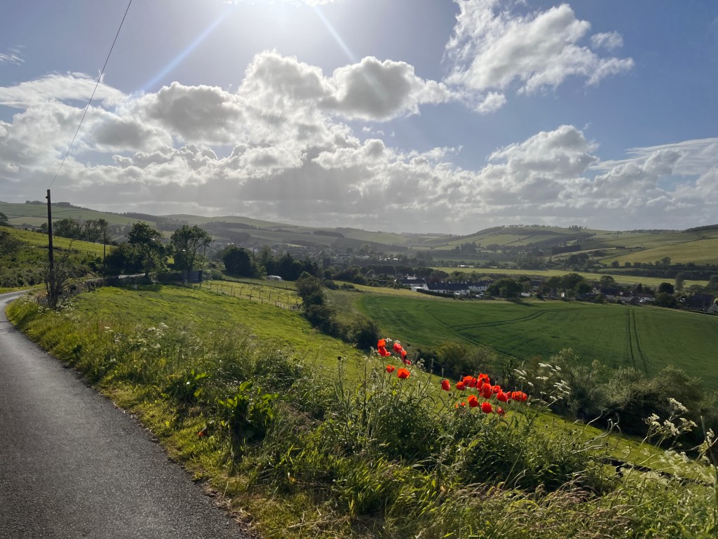
There was a little bit of road walking which included a steep hill at the end. This completed, we got our first view of Kirk Yetholm as we descended again. It was unbelievable that our 16 day journey was finally drawing to a close. We continued to descend and passed locals giving us knowing nods as we went. Finally, we reached the town proper and The Border Hotel, which is the final end point of the Pennine Way.
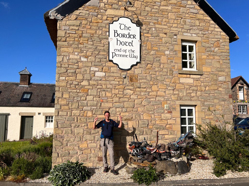
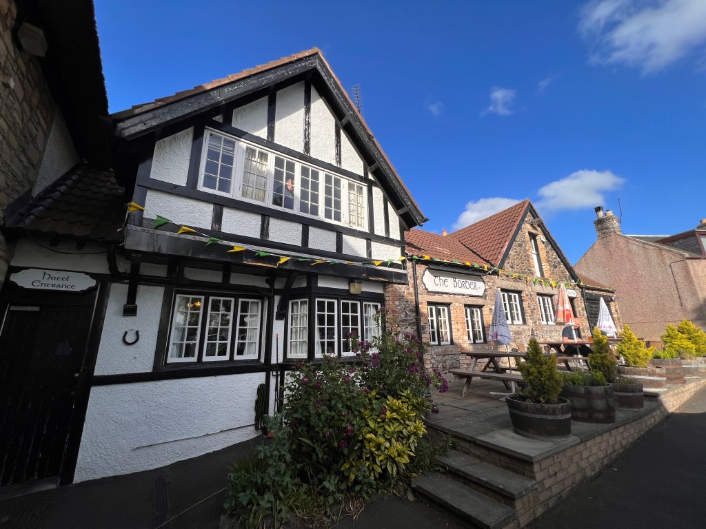
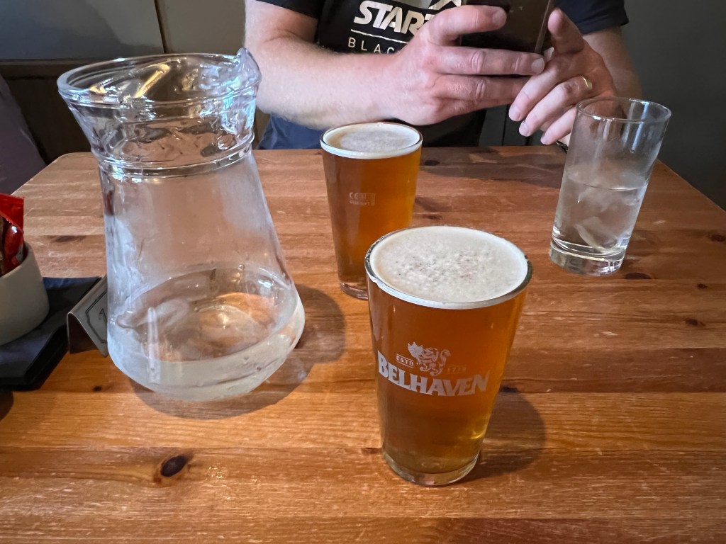
We had a good chat to a Scottish couple under the sign who congratulated us on our achievement. We had fortunately been able to arrange accommodation so, after a shower, it was time to head downstairs for dinner. A famous walker, Alfred Wainwright, who wrote many guidebooks on walking in England, used to keep a tab behind the bar at the hotel. He said that anyone who had managed to stick at it for the whole 265 miles of the Pennine Way deserved a drink on him at the end of it. The Hotel has continued this tradition and still offers those who have completed the Pennine Way in one continuous hike a free drink at the end.
Whilst I will post more detailed thoughts on the Pennine Way later, there is no doubt it has been one of our more challenging hikes. Whilst it doesn’t have the altitude component to deal with that other hikes present, it does have plenty of its own difficulties. The weather has been challenging at times, and the terrain makes it difficult to progress with some steep sections and also parts which are completely saturated and slow going. It doesn’t have the reputation of being the hardest National Trail in the UK for no reason. It also has the challenge of distance being relatively long compared to our previous long distance walks.
All that said, the Pennine Way has been a special experience. From the first time I became aware of it, I’ve wanted to walk it. I’ve walked sections of it when I was young but to have walked the whole thing has been very rewarding. The views will no doubt stay with us forever and we feel lucky and privileged to have walked the whole thing and gained so many memories.

Congrats on finishing! I’ve enjoyed following along. Looked like you had glorious weather to finish your last day.
LikeLiked by 1 person
Thanks Anna, it’s been a great hike. I’m glad you enjoyed it and thanks for following!
LikeLiked by 1 person
Well done Marcus and Ben! No doubt you were glad to sit down and enjoy that free pint of beer.
LikeLiked by 1 person
You can say that again!
LikeLike