20 miles/32 km
Total miles: 180 miles/290 km
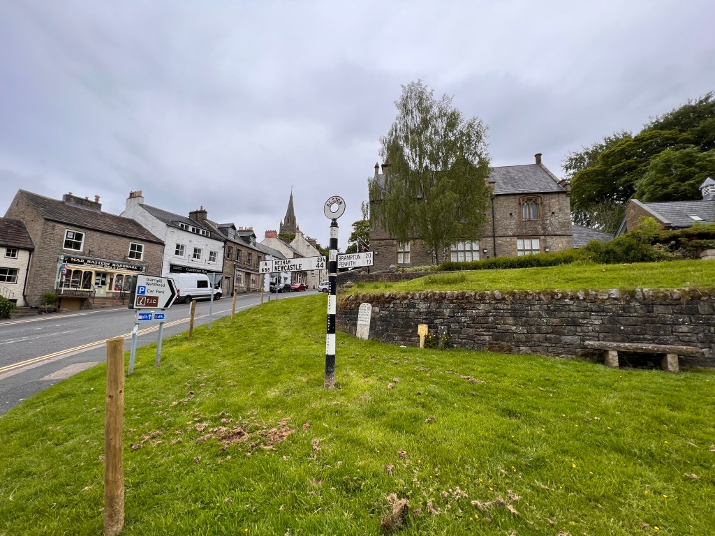
Today was the second of our big days and would end with a rest day in Alston, Cumbria before the final push to the Scottish border. Alston marks a milestone for us as we will have now done most of the hardest parts of the trail and will have easier days ahead.
We had an enjoyable meal at the local pub, The Stag Inn, the night before and found everybody in Dufton very friendly. Being the second day of Jubilee celebrations, everybody at the pub was, of course, blind drunk. There was one individual next to us who would laugh loudly at anything said in a slightly irritating ‘Mwuh HUH HUH…’. After dinner and a couple of pints, we headed off fingers in ears through the busy bar with a last ‘’Mwuh HUH HUH…’ ringing in our ears as we retreated to a safe distance.
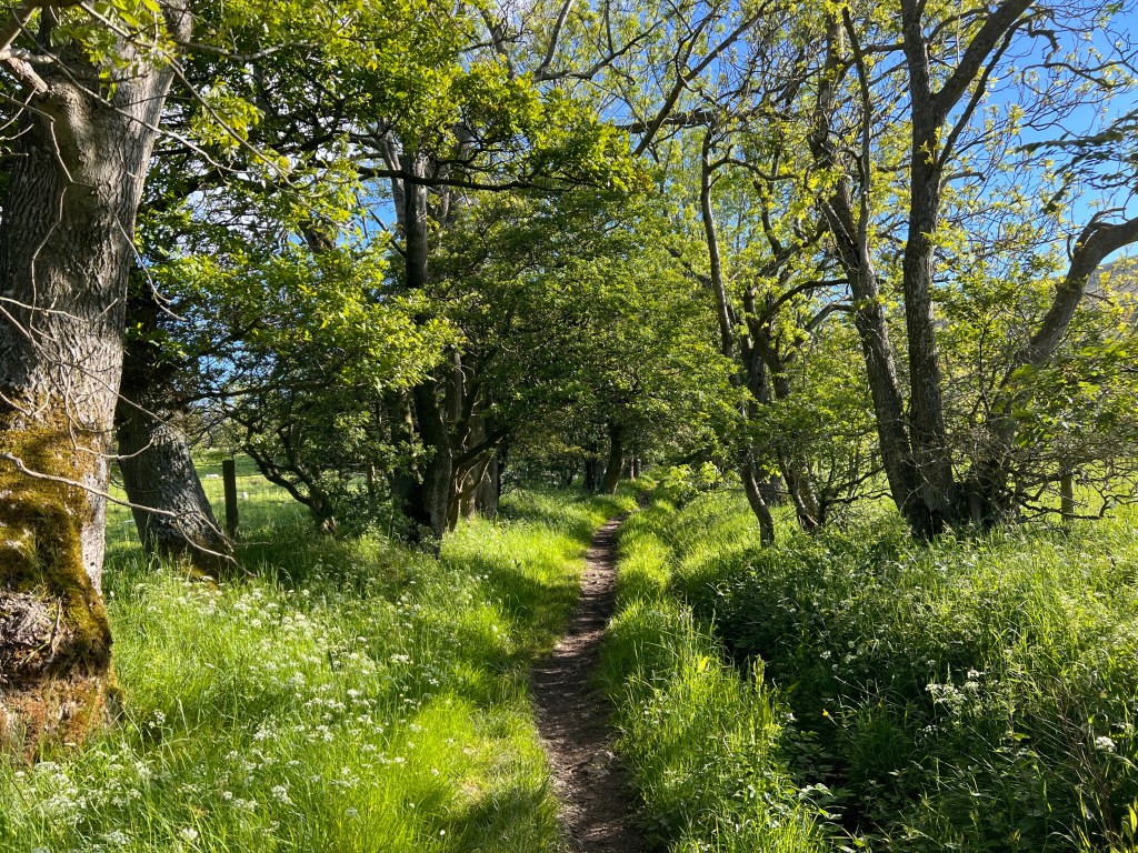
The walk out of Dufton was pleasant as we ambled up a leafy country lane through farmland and woods. The temperature was warm and it was one of those rare days in the UK with hardly a cloud in the sky.
After this pleasant, bucolic start to the day, things started to get far harder. We climbed over a fence onto open moorland and the walk suddenly changed in character. The nearby Cross Fell generates its own weather patterns, including the Helm Wind, the only named wind in the UK. Shortly after entering the open moorland, a ferocious wind hit us and the apparent temperature dropped quickly prompting a hasty donning of layers.
The ascent was relentless as we climbed up to over 800 metres in less than 4 kilometres. The wind was gusting to around 70km an hour right into our face making any forward progress very tiring. Our progress slowed dramatically with frequent stops to catch our breath.

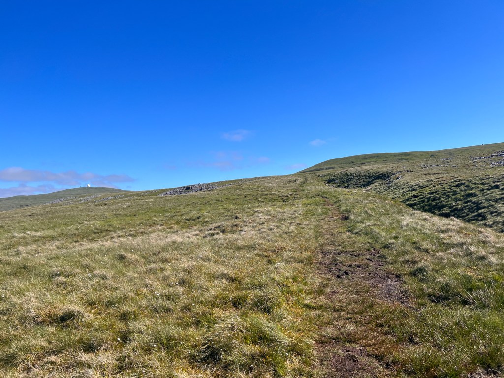
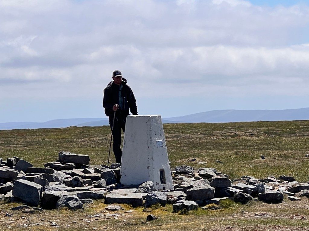
We eventually reached the summit of Knock Fell, being the first of four peaks we would climb today. The wind made it an unpleasant place to stop with their being no shelter, so we decided to keep going. Fortunately, the trail turned from being straight into the wind to a northwesterly direction which meant we were no longer heading directly into the wind.
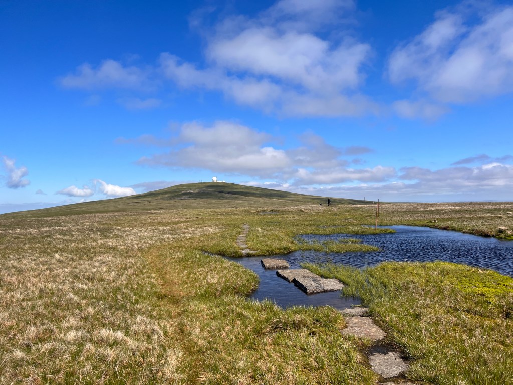
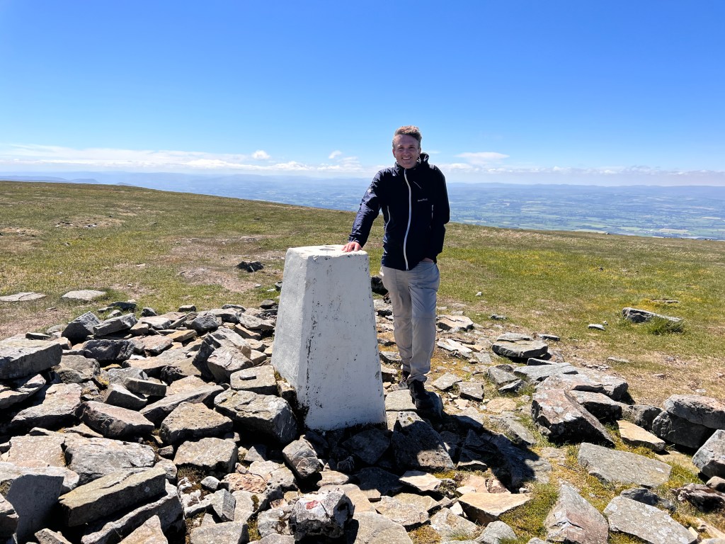
Next up was Great Dun Fell which at 848 metres is the second highest mountain in the Pennines. It lies just two miles (3.2km) south from its larger neighbour, Cross Fell. It is noticeable for its distinctive radar station in the summit used for air traffic control, visible from all the way down in Dufton.
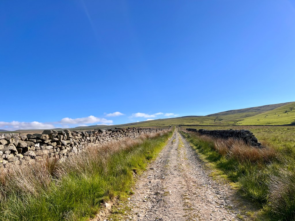
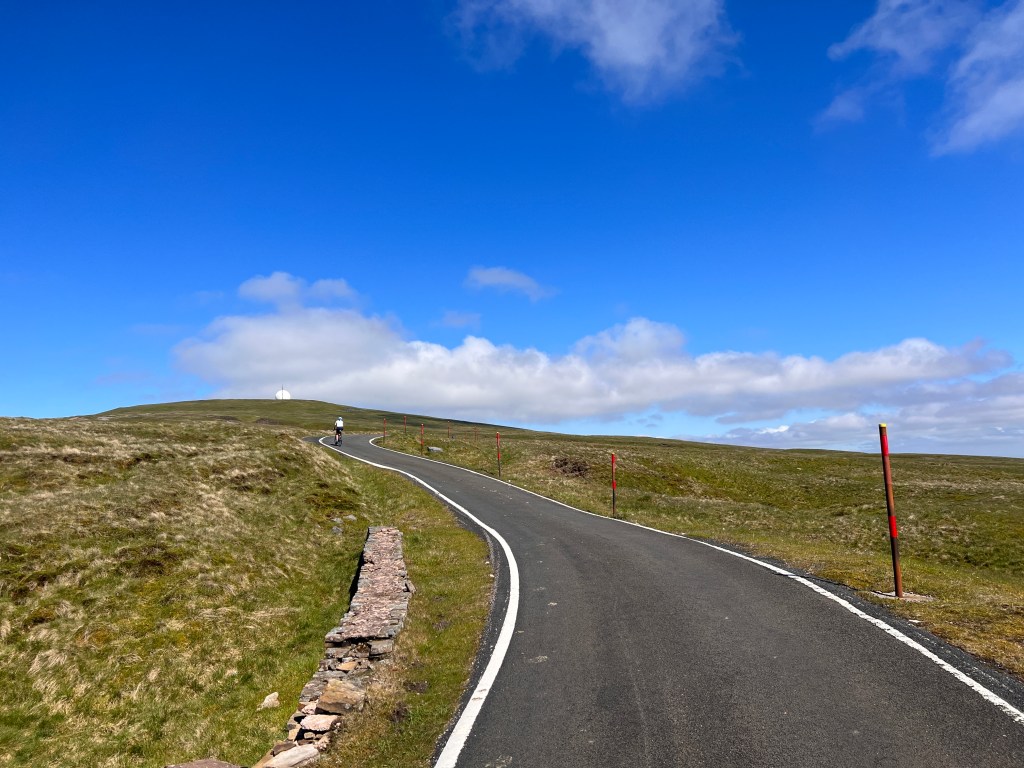
The way to the summit passed through some boggy sections so it was wet feet time again. Eventually, however, we reached the road which leads up to the station. It was odd seeing cyclists ride up the hugely steep climb wearing nothing but lycra riding gear whereas we were wearing almost all our gear against the cold. The road was lined with orange snow markers giving us an indication of the type of weather up here in winter. The summit itself was, well, uneventful so we quickly passed onto the next peak.
It was a short descent and then climb back up to the third peak, Little Dunn Fell and then we were on to the main event, Cross Fell.
Cross Fell is the highest mountain in the Pennines and the highest peak in England outside the Lake District at 893 metres or 2,930 feet. The mountain is notorious for its weather. Most years snow persists until May and fresh snowfall has commonly occurred in June. The summit itself is shrouded in cloud for two thirds of the year. The climate closely borders an alpine tundra climate due to a July mean of 10 degrees celsius. Finally, the Helm Wind, which allegedly gives off a shrieking noise when it blows, makes the place one of the areas of strongest winds in the UK.
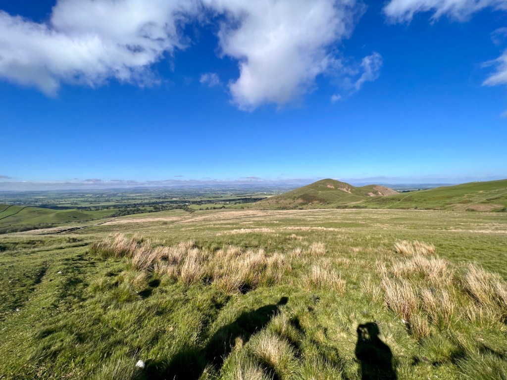
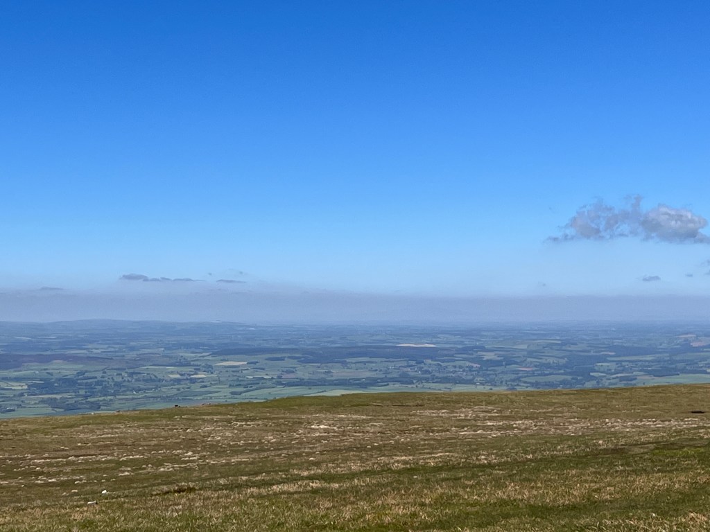
All those facts made the actual weather we experienced on Cross Fell remarkable. It was a steep but not too difficult climb up from the watershed to the summit plateau and a quick walk to the summit shelter. It was cold and very windy but the sun shone out of a blue sky giving us endless views. We could see Penrith, Skiddaw and Blencathra in the west right through to the North Yorkshire moors in the east. Most stunning was that we could see all the way to the north Cumbria coast and across the Solway Firth to the hills of Dumfries and Galloway in Scotland.
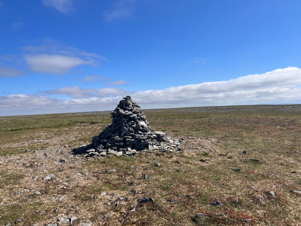
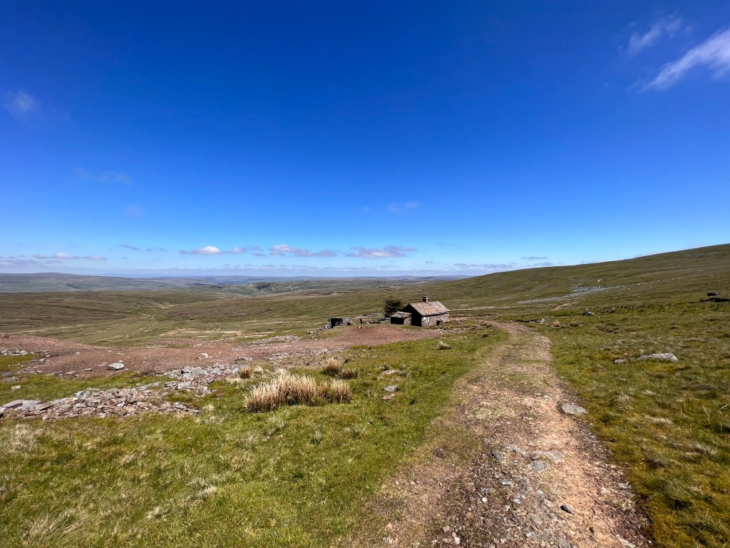
Grateful for the benign weather, we descended down a boggy track to a cairn and then turned right on to a track which led us to Greg’s Hut, a mountain shelter in the northeastern side of Cross Fell. The availability of this shelter definitely makes this the safest direction to approach Cross Fell from during marginal weather.

From Greg’s Hut, it was a long descent down a track which made our going fairly quick due to the gradual gradient and good footing. We were soon out of the wind and cold and slowly but surely descended down to Garrigill and Alston. Here the trail turns away from Alston and the detour to Garrigill adds some unnecessary kilometres to the day.
We looked unsuccessfully for a café or pub in Garrigill with no luck until someone pointed us in the direction of the Village Hall where the community was holding a Jubilee Party. We sat there sheepishly drinking our beer thinking how we’d been out in one of the wildest and remotest part of the Pennines only hours earlier.

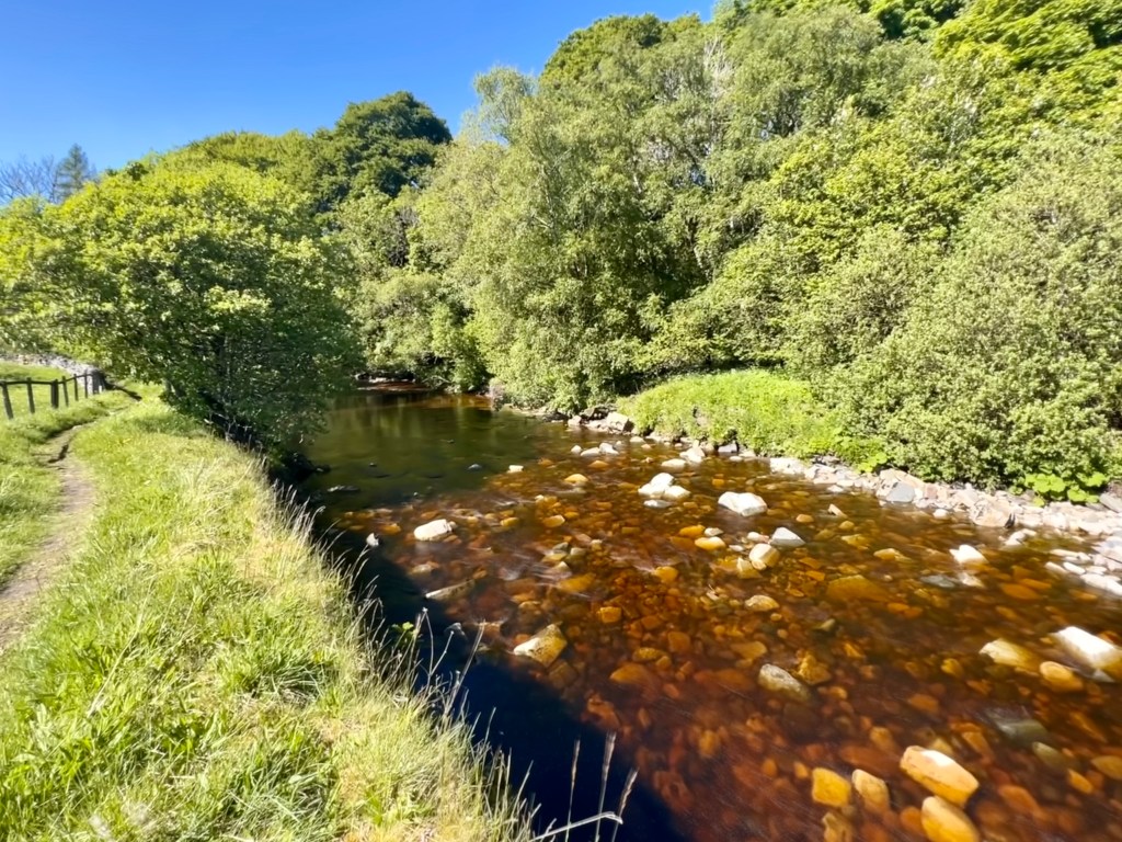
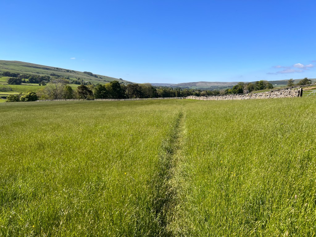
Unfortunately the beer did not make the remaining walk any easier and we still had nearly four miles to make it to Alston. This was mostly over undulating farmland which meant a lot of climbing over stiles and passing through gates. There were some nice sections along the South River Tyne as we made our way into Alston.
After what seemed an interminable walk, we finally reached Alston and our rest day. From there we will head north to Greenhead and Hadrian’s Wall.

Just beautiful✨
LikeLiked by 1 person
Thanks Cherryl
LikeLike
The English countryside takes on a whole new dimension when the sky is clear blue – but as you say – rare. Nice shots.
LikeLike
Thanks Peter, very rare on Cross Fell, we were quite lucky
LikeLike