Heading to Lone Pine

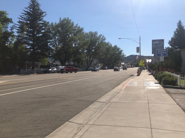
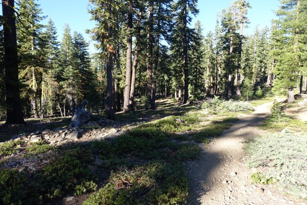
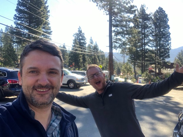
After finishing the trail yesterday, we headed down to Lone Pine to start our hike of the John Muir Trail in a few days. The closest town we could find on the drive from Tahoe was Bridgeport which was an hour and a half south of Kingsbury.

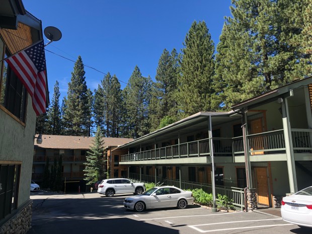
We arrived at the motel at around 10pm last night after the drive. The motel was basic but clean and, after a few Facetime calls to our wives and family, it was time to grab some needed sleep.

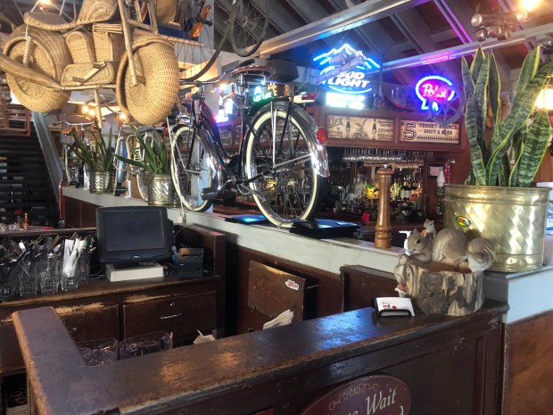
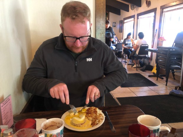
The next morning, we headed down to the local bar for breakfast. It was one of those places where there are a couple of guys shooting pool in the corner and people look up when you enter. The waitresses were friendly enough and we had breakfast and coffee whilst watching the World Cup.

Continue reading

Day 11: Tahoe Tim Trail – done!

Round Lake to Kingsbury S Trailhead

Mileage: 27.0 miles (inc 0.8m side trails), total 171.0 miles

Elevation: 6,463 feet

Last night was quite cold at our campsite at Round Lake. The wind was blowing quite strongly off the lake and, unfortunately, single wall tents are not the best at excluding drafts.

After breakfast, we had a nice downhill stretch to warm up with. The trail was quiet apart from one group we passed who were playing music and asked if this was the way to Sacramento.

Continue reading

Day 10: Goodbye Pacific Crest Trail

Tamarack Lake to Round Lake

Mileage: 18.9 miles, total 139.3 miles

Campsite elevation: 8,100 feet

It was good to see the dawn slowly breaking as it got light around our campsite. I was the first person awake at around 5.30 AM and took the opportunity to admire the view down towards the lakes.

After breakfast, we left before much of the campground was stirring. There was a short 0.3 mile hike back to rejoin the TRT which then led down towards Echo Lake. The terrain underfoot was very rocky and this made progress slow.

Continue reading

Day 9: Lake Aloha

Middle Velma Lake to Tamarack Lake

Mileage 13.8 miles, total 126.6 miles

Campsite elevation: 7,875 feet

Today was a great day in all respects and had some of the best scenery I’ve come across whilst hiking.

We got going by 7.30 from our campsite at Middle Velma Lake and began our climb up to Dick’s Pass. The climb was fairly uneventful and not too steep, with switchbacks where necessary to make the gradient easier.

Continue reading

Day 8: Into Desolation Wilderness

S of Barker Pass to Middle Velma Lake

Mileage: 17.1 miles, total 112.8

Campsite elevation: 7,901 feet

When we woke up this morning, our Dutch friend was long gone but Bill was still sleeping as we made breakfast. There were some stirrings as we got back on the trail so we bid him farewell.

From the campsite, we climbed up another 500 ft or so to the top of a ridge. There were plenty of snow patches on the way which we had to climb over or around. At the top, we were treated to a nice view of McKinney Bay in Lake Tahoe.

It was then a 4.5 mile descent past Barker Pass trailhead which was basically the last time I had any phone reception.

Continue reading

Day 7: Twin Peaks

Tahoe City to S of Barker Pass

Mileage: 14.3 miles, total 95.7 miles

Campsite elevation: 8,078 ft

We started the day with breakfast at Rosie’s in town. Tahoe City doesn’t seem to wake up until late so it was pretty dead when we walked in. It was an interesting place with moose heads on the wall.

After breakfast, we watched some junk American TV shows and then headed to Alpenglow, a local outdoors store. We asked about snow conditions on Dick’s Pass and whether an ice axe would be required. They were great and said they hadn’t heard of a single person going through in the last three weeks who had required an ice axe.

Continue reading

A zero in Tahoe City

Tahoe City

Mileage: zero

Elevation: 6,255 feet

I slept well last night in a real bed at the Pepper Tree Inn so it was hard getting out of bed in the morning. However, there was a few things to get organised.

After breakfast, we headed down to the local Tahoe City post office to take care of a couple of things. We decided to lighten our load a bit by sending on gear we are not using and will not need in the warm conditions we are getting on the trail.

Whilst we are keeping our microspikes for the upcoming snow sections, we are removing a few items such as a second insulation layer. These have been mailed on to our next destination, Lone Pine, a four hour drive south where we will head after we finish the Tahoe Rim Trail.

Continue reading

Day 6: Reaching halfway

Watson Lake to Tahoe City

Mileage: 13.5 miles, total 81.4 miles

Elevation: 6,255 ft

I was the first person awake at the campsite this morning so made breakfast as quietly as possible. I might have made a little more noise when passing the bongo guy’s tent but that is only a rumour. This was our last day on the trail before reaching our halfway point at Tahoe City where we will take a day off.

There were only four small climbs during the day followed by a downhill all the way to Tahoe City. I’ve been feeling a bit sleep deprived the last few days with it being so late when it finally gets dark and so early when it gets light. So I was feeling in need of a sleep in this morning rather than the 5.30 AM alarm call.

Continue reading

Day 4: Over Relay Peak

Mt Rose Campground to Gray Lake

Mileage: 9.6 miles (+0.8 mile side trail), total 52.8 miles

Campsite elevation: 9,050 ft

We started the day by heading down to Incline Village to do our resupply. Before that, however, it was time to grab breakfast at the Wildflower Cafe. Nice food, although the place was freezing and they forgot Ben’s breakfast. But still expected a 20% tip of course!

Resupply done, we checked out of our motel and it was time to head up to Mt Rose trailhead.

Continue reading

Day 3: Expect the unexpected

Marlette Campground (27.0) to Mt Rose Campground (40.9)

Mileage: 13.9 miles, total 40.9 miles

I had a good night’s sleep last night. It is the longest day of the year and in Tahoe the sun sets at 8.30pm and it is light again by 5.30am which makes sleeping difficult at times. We packed up camp and once we had filled up on water, we headed onto the trail.

There was an initial climb up from the campsite and, in contrast to the previous stretch, we passed a water source almost immediately after leaving the campsite. It was great not to have to ration our water today or do a big water carry.

Continue reading