Day 16: Pennine Way – Done!

26 miles/42 km

Total miles: 265 miles/427 km

As there were some strong winds coming in today with ex-TS Alex crossing the north, it wasn’t a good idea to camp on top of the Cheviots. We decided instead to do the 26 mile traverse in one day. This is challenging not just due to the distance, but the terrain involved with a significant amount of ascent and descent required to make Kirk Yetholm. We were lucky in that the prevailing winds today would be southwesterly so the wind would be at our back for the first half of the day. The trail north of The Cheviot, however, would have a strong side wind to contend with.

We rose early and were off by 6.30 AM with everything all packed up. It had rained lightly on and off during the night but we had managed to get our gear mostly dry and, after breakfast, it was the start of a long day. The trail out of Byrness involved a walk back along the road to the church, then a really steep but short climb out of Byrness onto the border ridge. This is a much easier climb than the 10km climb you would have climbing out of Kirk Yetholm.

Continue reading

Day 14: All’s Well That Ends Well

17 miles/28 km

Total miles: 222 miles/357 km

Our recent good run with the weather came to an abrupt halt today. There are unfortunately several weather systems tracking in from the Atlantic over the next few days so we may be in for some poor weather up to the finish of our hike. Today started off with pouring rain so getting out of the warm, dry sleeping bag knowing you’re about to get soaked was hard work. There was also a guy in the tent next to me who was quite ill, hacking his guts up and sneezing everywhere and looked a high chance for COVID so we were keen to get going.

Once on the way, steady rain and low cloud persisted as we made our way back up onto the Wall. The first point we reached was the famed Sycamore Gap which was featured in Robin Hood: Prince of Thieves. It was really quite spectacular and I hope nothing ever happens to that tree.

Continue reading

Day 13: Hadrian’s Wall

7.6 miles/12.2 km

Total miles: 204 miles/329 km

Today marked the eastward transition of the Pennine Way from Greenhead before it begins its push to the border. We deliberately made today a shorter day at only 12km to give us a more manageable day tomorrow as we head into Bellingham, the last town of any size before Scotland.

It was nice to have such a short day today so we made the most of it so only leaving Greenhead at 10 AM. The trail almost immediately came upon Thirlwall Castle just outside town. Thirlwall means ‘gap in the wall’ in old English and refers to a break in Hadrian’s wall. The castle was built with stone from the wall and the nearby Roman fort of Carvoran.

Continue reading

Day 9: No More Sleightholme Moor

18 miles/29 km

Total miles: 134 miles/216 km

We were ready at 8.30 for breakfast at the Tan Hill Inn and shortly thereafter were on our way. The guidebook describes the section after the Inn as a little muddy but this turned out to be an understatement.

My The going over Sleighthome Moor was very slow and treacherous and, at times, it was hard to find a way forward. The peat bogs in northern England are, however, not too hard to navigate as long as you follow a few simple rules. Only stand on the cottongrass mounds and don’t stand on anywhere else. Especially the spagnum moss or you will be in mud and water past your ankles or even halfway up your leg. A number of times I had to stop to drag my trekking pole out of the mud.

Continue reading

Hiking the Pennine Way

In May and June 2022, I will be hiking the Pennine Way in the UK. The Pennine Way is a 268 mile (435 km) long distance trail stretching from Edale in the south to Kirk Yetholm just over the Scottish border.

It was the first long distance trail created in the UK opening in 1965 and is notorious for its bad weather, muddy stretches, wet feet and rugged terrain.

The difference between the Pennine Way and other trails I’ve hiked is that, on most days, the trail starts and finishes in a town. This usually means a big climb to start the day and a long descent to end it with the bulk of the day being walking along the top of the Pennines. Some days the trail actually goes through a town (Gargrave for example) all of which means that the Pennine Way does not require large food and water carries as many other trails.

Continue reading

Day 21: On top of Mt Whitney

0.4m north of Guitar Lake to Whitney Portal

Mileage: 16.8 miles, total 210.4 miles

Max elevation: 14,505 feet (Mt Whitney summit)

I woke at 3.15 AM to the sight of headlamps snaking their way up the mountain. It reminded me of Kilimanjaro and, whilst I briefly wanted to charge up there after them, I was happy with our decision as otherwise we would have had to rise at midnight. This way we got some sleep at least.

The trail initially climbed up via some steep switchbacks. It was nice climbing by the light of our headlamps and that of the moon but the day soon brightened enough that we could walk by the oncoming dawn.

The switchbacks were nice and long and easy but we kept our pace as slow as possible given the altitude we were climbing to. We came across a group who said they had bumped into a pair of hikers earlier who had to abandon their attempt on Whitney due to altitude sickness. In addition, we came across blood which had dried on the trail apparently from someone’s nose bleed, another sign of altitude sickness.

Continue reading

Day 20: Guitar Lake

Tyndall Creek to 0.4 miles up from Guitar Lake

Mileage: 11.5 miles, total 206.3 miles

Campsite elevation: 11,658 feet

Last night ended up being quite cold at Tyndall Creek. It was the first night on the trail which I have had the sleeping bag zipped right up and wore long clothes to sleep in. It didn’t warm up until the sun rose above the mountains.

Today was basically a day to get us set up for the ascent of Mt Whitney tomorrow. Although it could technically be done in a day, there is too much of a risk of dangerous thunderstorms occurring on the summit in late afternoon. Whilst the forecast for us was good, we thought we would go the safety first route and camp at Guitar Lake before our summit attempt in the morning.

Continue reading

Day 19: Forester Pass

Vidette Meadow to Tyndall Creek

Mileage: 12.3 miles, total 194.8 miles

Max elevation: 13,124 feet (Forester Pass)

Campsite elevation: 11,041 feet

Today was a day we were both excited about and a little nervous as we would be climbing to the highest point on the Pacific Crest Trail being Forester Pass at 13,124 ft. Forester is a little notorious for both the steep, precipitous drop offs on it southern side as well as the ice chute where hikers cross a 50 degree snow field with a drop of close to 200 ft.

We started the day approximately 7 miles from the top of Forester so began our climb slowly as we gained elevation. When we climbed Kilimanjaro in 2012, the guides would insist on a slow pace (pole pole in swahili meaning slowly slowly) and on drinking lots of water. We tried to take this into account on the ascent taking it nice and easy.

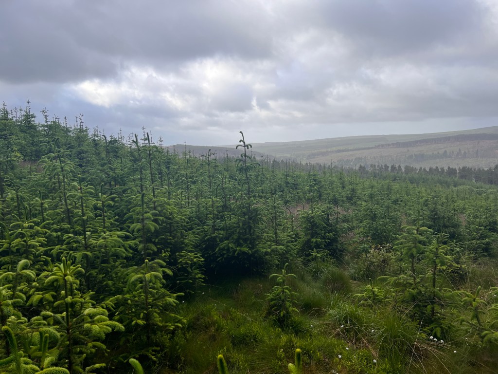
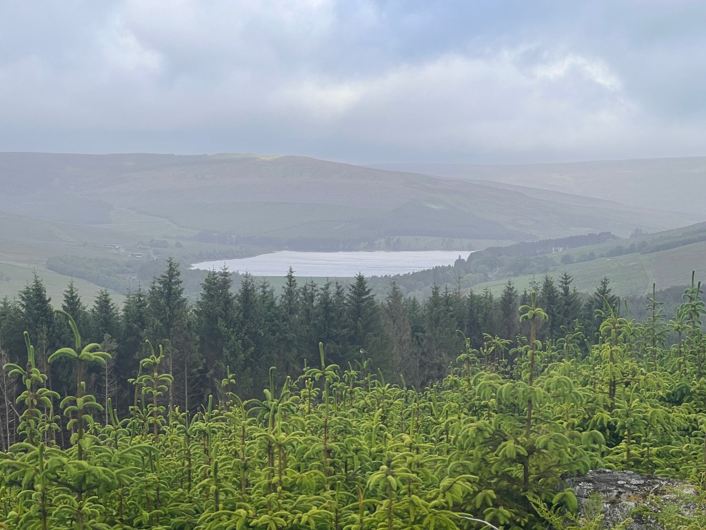
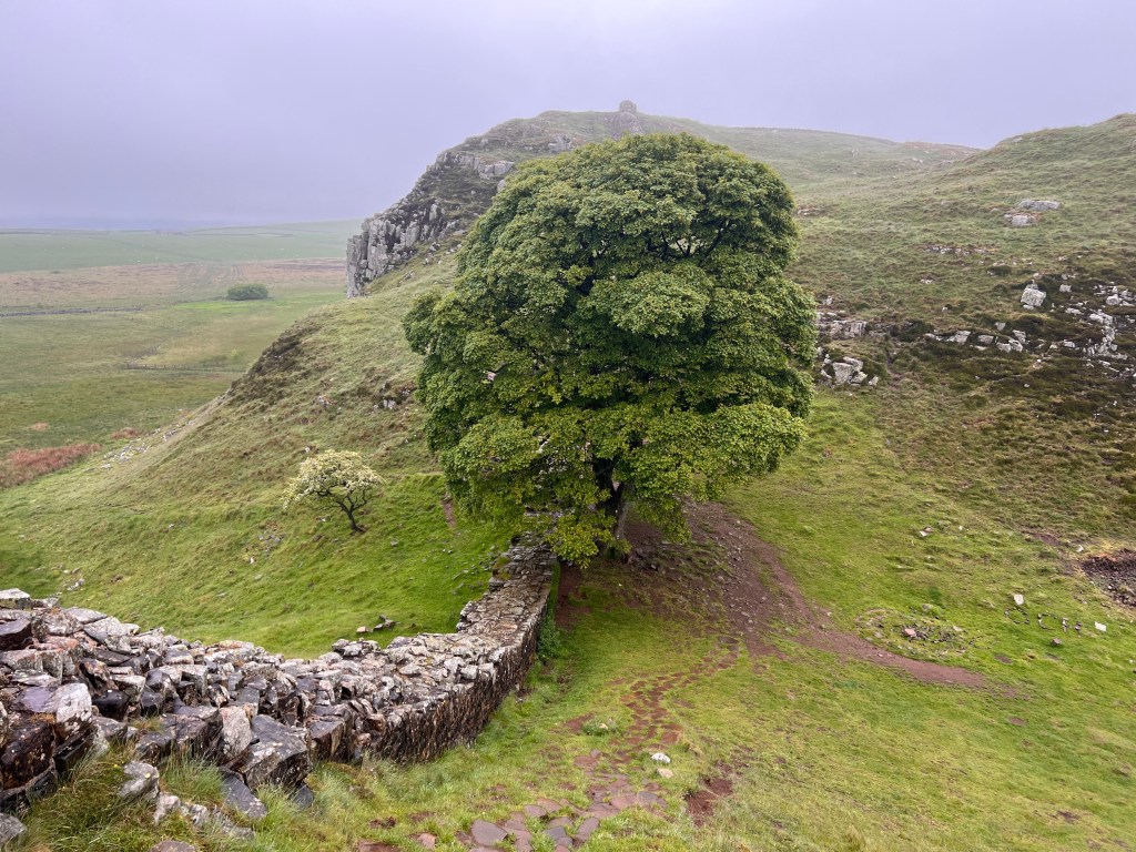
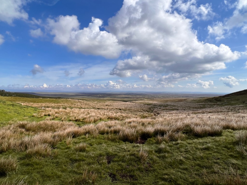
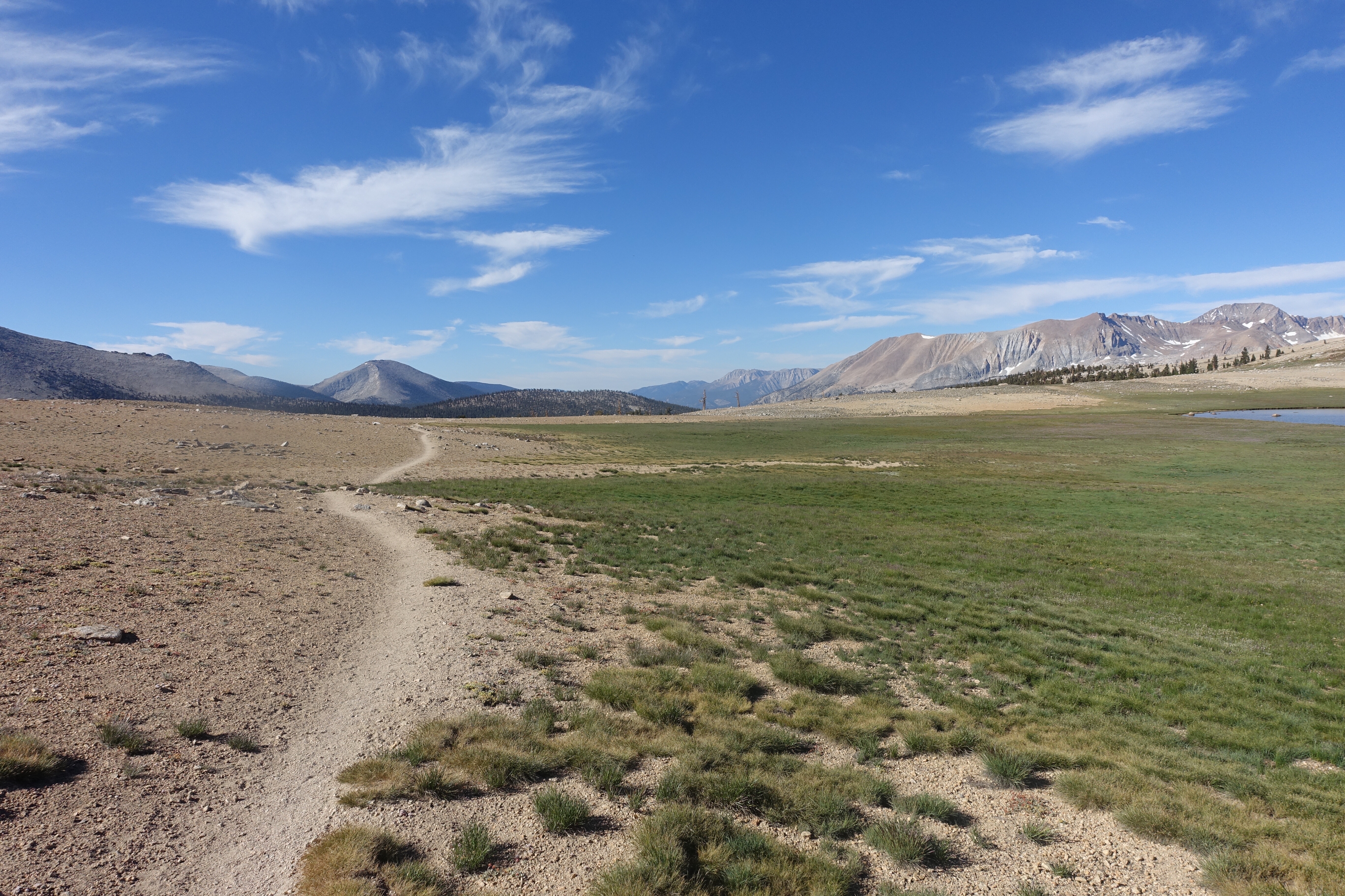
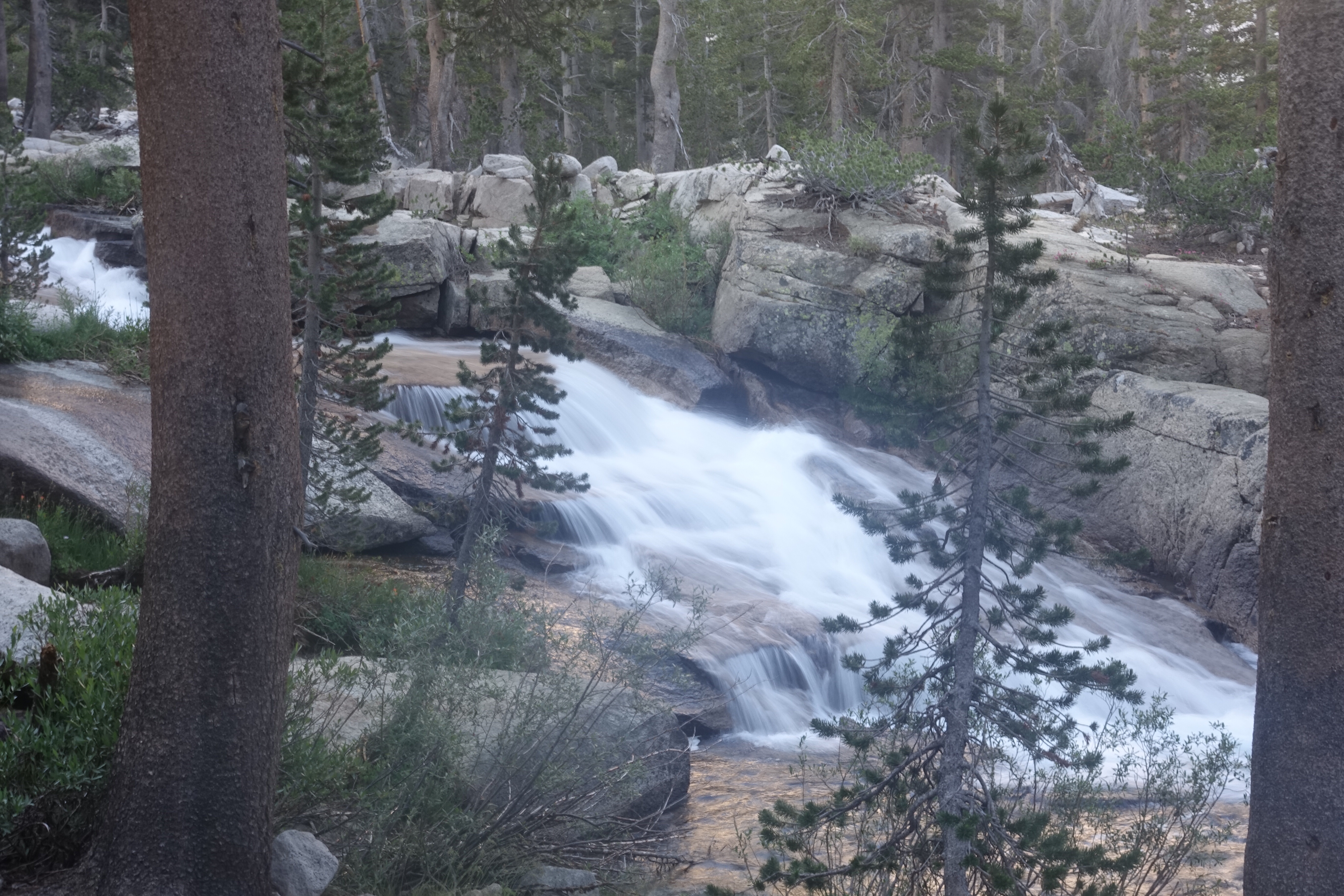
The trail continued through the pine forest for a while before reaching tree line. There were some beautiful views as we climbed up.

Continue reading

Day 18: Back over Kearsarge

Onion Valley Trailhead to Vidette Meadow

Mileage: 9.5 miles, total 182.5 miles

Campsite elevation: 9,927 feet

We had a busy day today getting our final bits of packing done as we were being picked up at 9 AM. After breakfast and checking out, we were picked up by SherpaMax which is a service which ferries hikers between towns and the various trailheads.

From Lone Pine, it is a 40 mile drive north to a small town called Independence, so named because it was founded on Independence Day. Like many small towns, it has an impressive courthouse whose grandeur is completely out of place with the smallness of the town.

Continue reading