Vidette Meadow to Tyndall Creek
Mileage: 12.3 miles, total 194.8 miles
Max elevation: 13,124 feet (Forester Pass)
Campsite elevation: 11,041 feet
Today was a day we were both excited about and a little nervous as we would be climbing to the highest point on the Pacific Crest Trail being Forester Pass at 13,124 ft. Forester is a little notorious for both the steep, precipitous drop offs on it southern side as well as the ice chute where hikers cross a 50 degree snow field with a drop of close to 200 ft.
We started the day approximately 7 miles from the top of Forester so began our climb slowly as we gained elevation. When we climbed Kilimanjaro in 2012, the guides would insist on a slow pace (pole pole in swahili meaning slowly slowly) and on drinking lots of water. We tried to take this into account on the ascent taking it nice and easy.
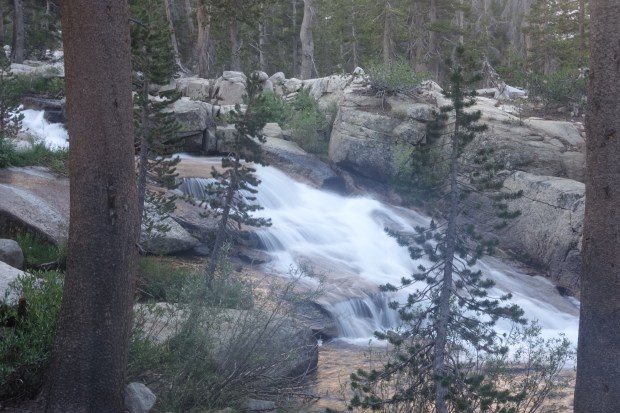 The trail continued through the pine forest for a while before reaching tree line. There were some beautiful views as we climbed up.
