Hiking the Pennine Way

In May and June 2022, I will be hiking the Pennine Way in the UK. The Pennine Way is a 268 mile (435 km) long distance trail stretching from Edale in the south to Kirk Yetholm just over the Scottish border.

It was the first long distance trail created in the UK opening in 1965 and is notorious for its bad weather, muddy stretches, wet feet and rugged terrain.

The difference between the Pennine Way and other trails I’ve hiked is that, on most days, the trail starts and finishes in a town. This usually means a big climb to start the day and a long descent to end it with the bulk of the day being walking along the top of the Pennines. Some days the trail actually goes through a town (Gargrave for example) all of which means that the Pennine Way does not require large food and water carries as many other trails.

Continue reading

Day 6: Into Augusta

Deepdene to Cape Leeuwin

Mileage: 17.6 km

Cumulative: 128.2 km

I had a sleep in this morning to a rather luxurious 5.30 AM before the final day on trail. The campsite was very humid and the tents were all saturated with condensation but there was no time to dry them out before hitting the trail by 7 AM and climbing back out through the dunes back onto Deepdene Beach.

The sand was very soft underfoot but the morning light was really beautiful and the air very crisp and cool. We could see the lighthouse at Cape Leeuwin ahead which still seemed so far away.

Continue reading

Day 5: Beach walking

Conto Campground to Deepdene Campground

Mileage: 30.0 km

Cumulative: 110.6 km

I slept very well last night and fell asleep almost as quickly as I turned off the head torch. Not before I caught a glimpse of a possum which was checking out the table at the campsite for scraps.

The morning started with a beautiful walk through Boranup Forest. The section has lots of Karri trees which provide a lot of shade to the forest. This meant it was quite cool in the morning air. It reminded me of the long Karri sections on the Bibbulmun Track around Pemberton.

Continue reading

Day 4: Past Margaret River

Ellenbrook to Conto Campground

Mileage: 28.6 km

Cumulative: 79.8 km

It was a very cold night last night at Ellenbrook. The campsite is in a valley so all the cold air sank making it pretty cold. I woke up at 5 AM after a pretty restless night ready for a 6.30 AM start.

It was a big climb up out of Ellenbrook to get the heart pumping but was then a nice walk along the cliffs which was straightforward underfoot.

Continue reading

Day 3: Making Progress

Moses Rock to Ellenbrook

Mileage: 18.7 km

Cumulative: 51.9 km

Last night was quite cold but fortunately it was also dry. After hot chocolate and blueberry granola, it was time to head off on our southward journey. There were some beautiful views as we walked along the cliff tops.

We were lucky enough to see dolphins as they swam south through the ocean. They would follow the line of the swell and then jump up through the wave just as it was breaking. A beautiful start to Easter Sunday.

Continue reading

Day 1: South from Cape Naturaliste

Cape Naturaliste to Mt Duckworth

Mileage: 10.3 km

Total mileage: 10.3 km

It was a good decision to head down from Perth today as it meant the roads were less hectic than yesterday as the whole of Perth heads south for Easter. However, there was still plenty of traffic on the roads as I drove down south to Ben’s house.

The weather started to hail strongly as we were getting ready to set off which is unusual for April in WA. I dropped my car at Ben’s house and we headed down with Lisa and the kids for the hour and a half trip to Dunsborough.

Arriving at Cape Naturaliste, we said goodbye to Ben’s family and began the walk up to the lighthouse. Unfortunately, the lighthouse is under renovation so we weren’t able to touch it which is the traditional way to start this trail. Instead, we made use of the beautiful view of the Indian Ocean as the rain rolled in.

Continue reading

Day 21: On top of Mt Whitney

0.4m north of Guitar Lake to Whitney Portal

Mileage: 16.8 miles, total 210.4 miles

Max elevation: 14,505 feet (Mt Whitney summit)

I woke at 3.15 AM to the sight of headlamps snaking their way up the mountain. It reminded me of Kilimanjaro and, whilst I briefly wanted to charge up there after them, I was happy with our decision as otherwise we would have had to rise at midnight. This way we got some sleep at least.

The trail initially climbed up via some steep switchbacks. It was nice climbing by the light of our headlamps and that of the moon but the day soon brightened enough that we could walk by the oncoming dawn.

The switchbacks were nice and long and easy but we kept our pace as slow as possible given the altitude we were climbing to. We came across a group who said they had bumped into a pair of hikers earlier who had to abandon their attempt on Whitney due to altitude sickness. In addition, we came across blood which had dried on the trail apparently from someone’s nose bleed, another sign of altitude sickness.

Continue reading

Day 20: Guitar Lake

Tyndall Creek to 0.4 miles up from Guitar Lake

Mileage: 11.5 miles, total 206.3 miles

Campsite elevation: 11,658 feet

Last night ended up being quite cold at Tyndall Creek. It was the first night on the trail which I have had the sleeping bag zipped right up and wore long clothes to sleep in. It didn’t warm up until the sun rose above the mountains.

Today was basically a day to get us set up for the ascent of Mt Whitney tomorrow. Although it could technically be done in a day, there is too much of a risk of dangerous thunderstorms occurring on the summit in late afternoon. Whilst the forecast for us was good, we thought we would go the safety first route and camp at Guitar Lake before our summit attempt in the morning.

Continue reading

Day 19: Forester Pass

Vidette Meadow to Tyndall Creek

Mileage: 12.3 miles, total 194.8 miles

Max elevation: 13,124 feet (Forester Pass)

Campsite elevation: 11,041 feet

Today was a day we were both excited about and a little nervous as we would be climbing to the highest point on the Pacific Crest Trail being Forester Pass at 13,124 ft. Forester is a little notorious for both the steep, precipitous drop offs on it southern side as well as the ice chute where hikers cross a 50 degree snow field with a drop of close to 200 ft.

We started the day approximately 7 miles from the top of Forester so began our climb slowly as we gained elevation. When we climbed Kilimanjaro in 2012, the guides would insist on a slow pace (pole pole in swahili meaning slowly slowly) and on drinking lots of water. We tried to take this into account on the ascent taking it nice and easy.

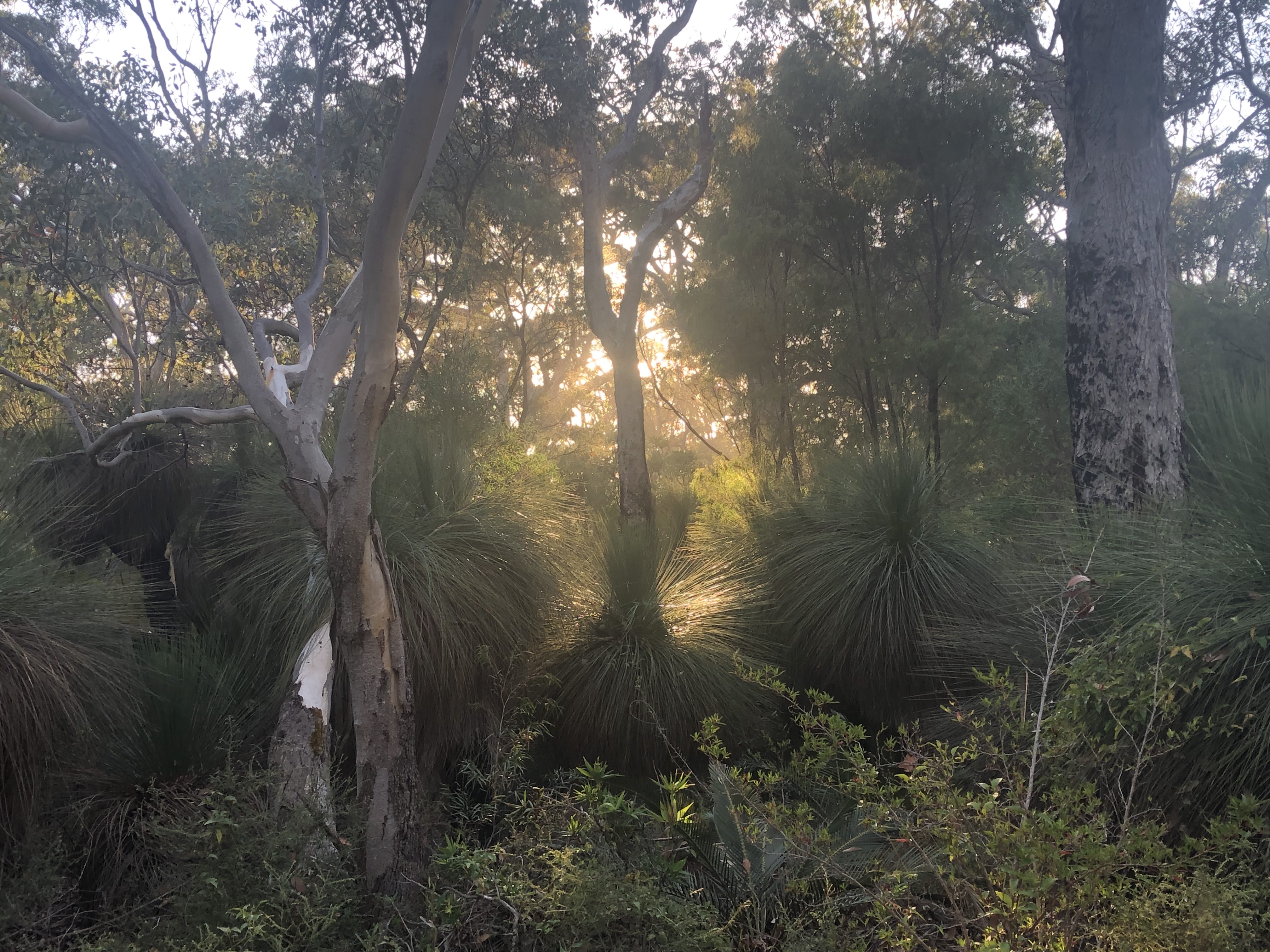
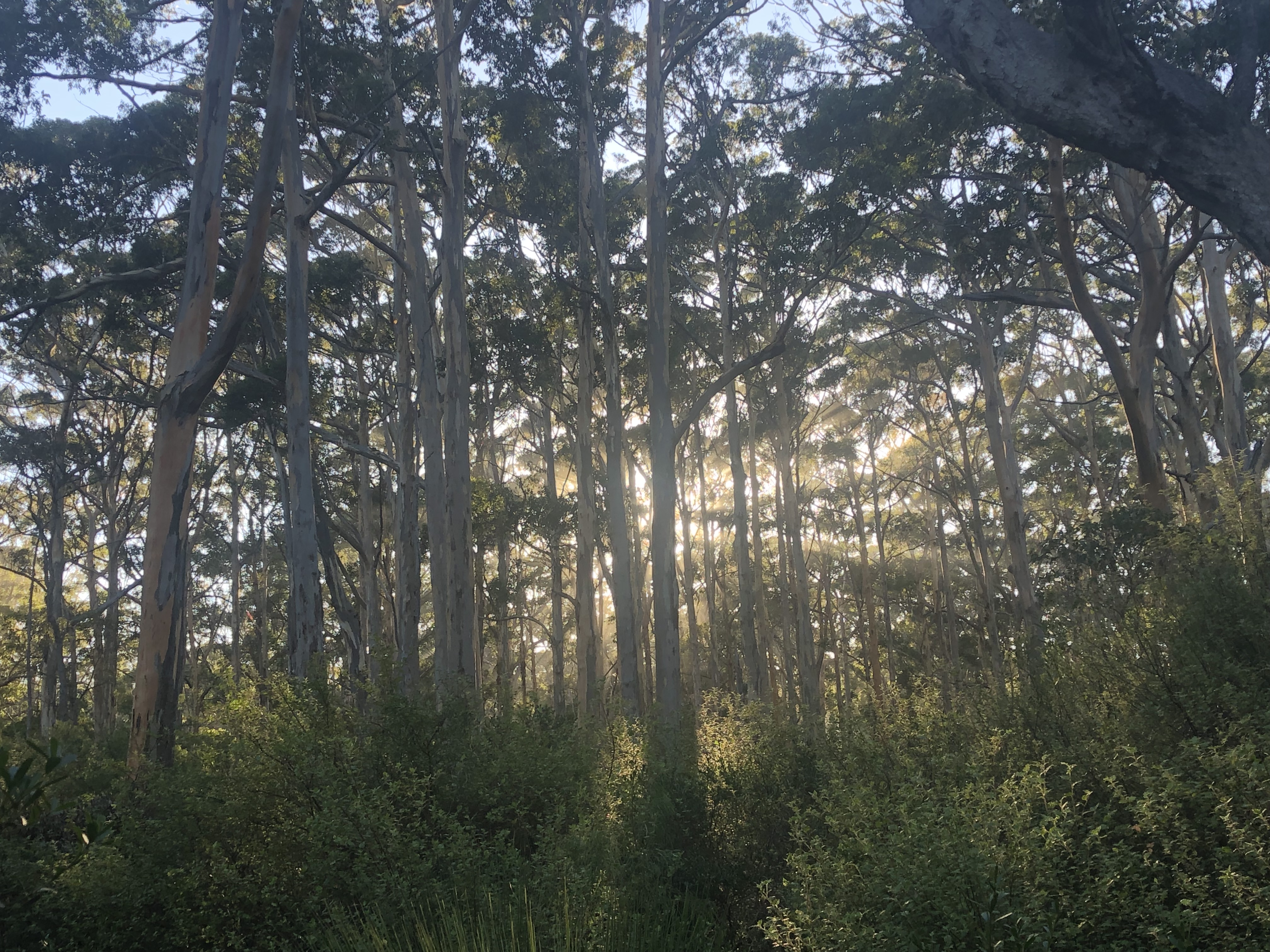
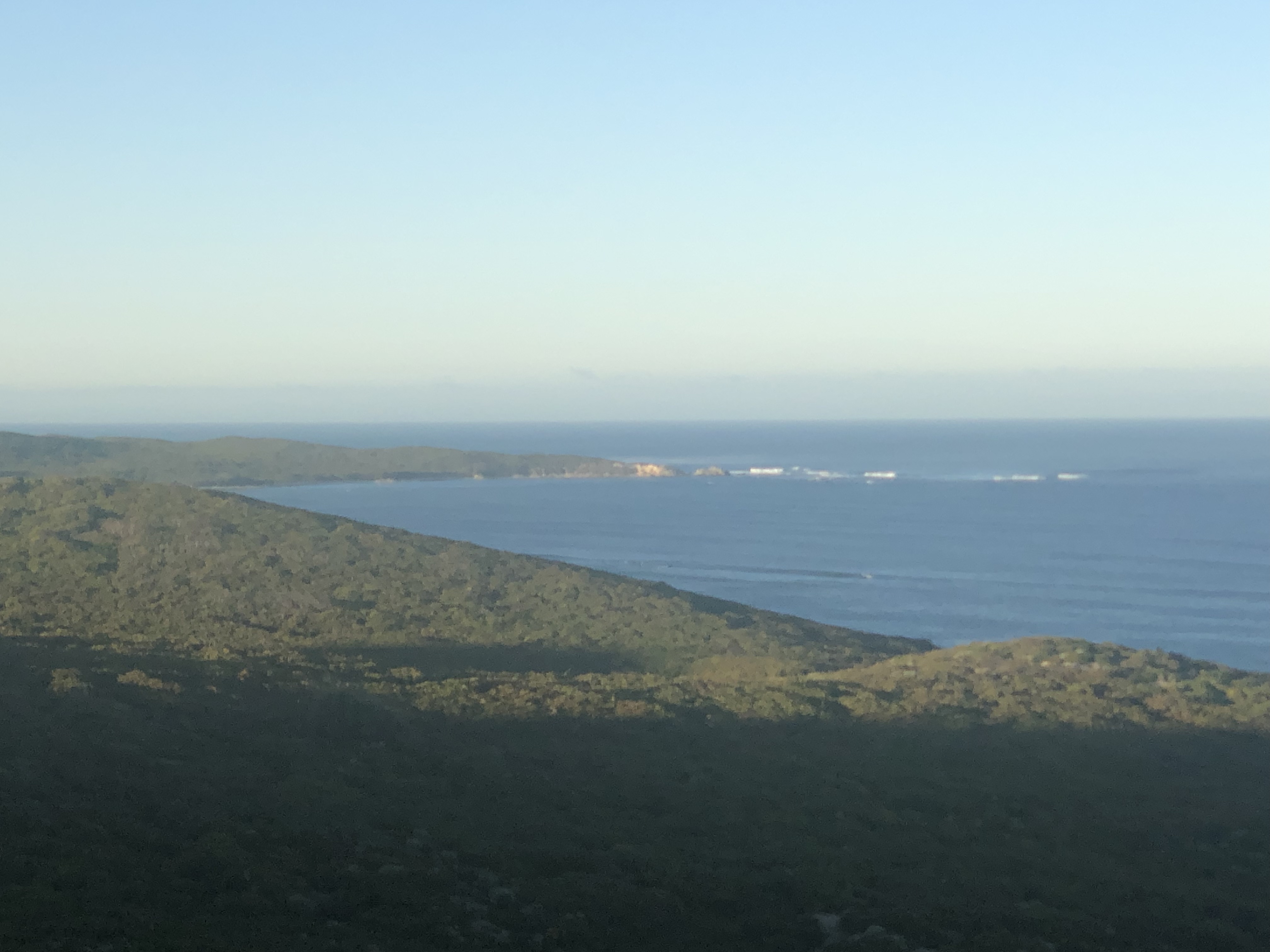
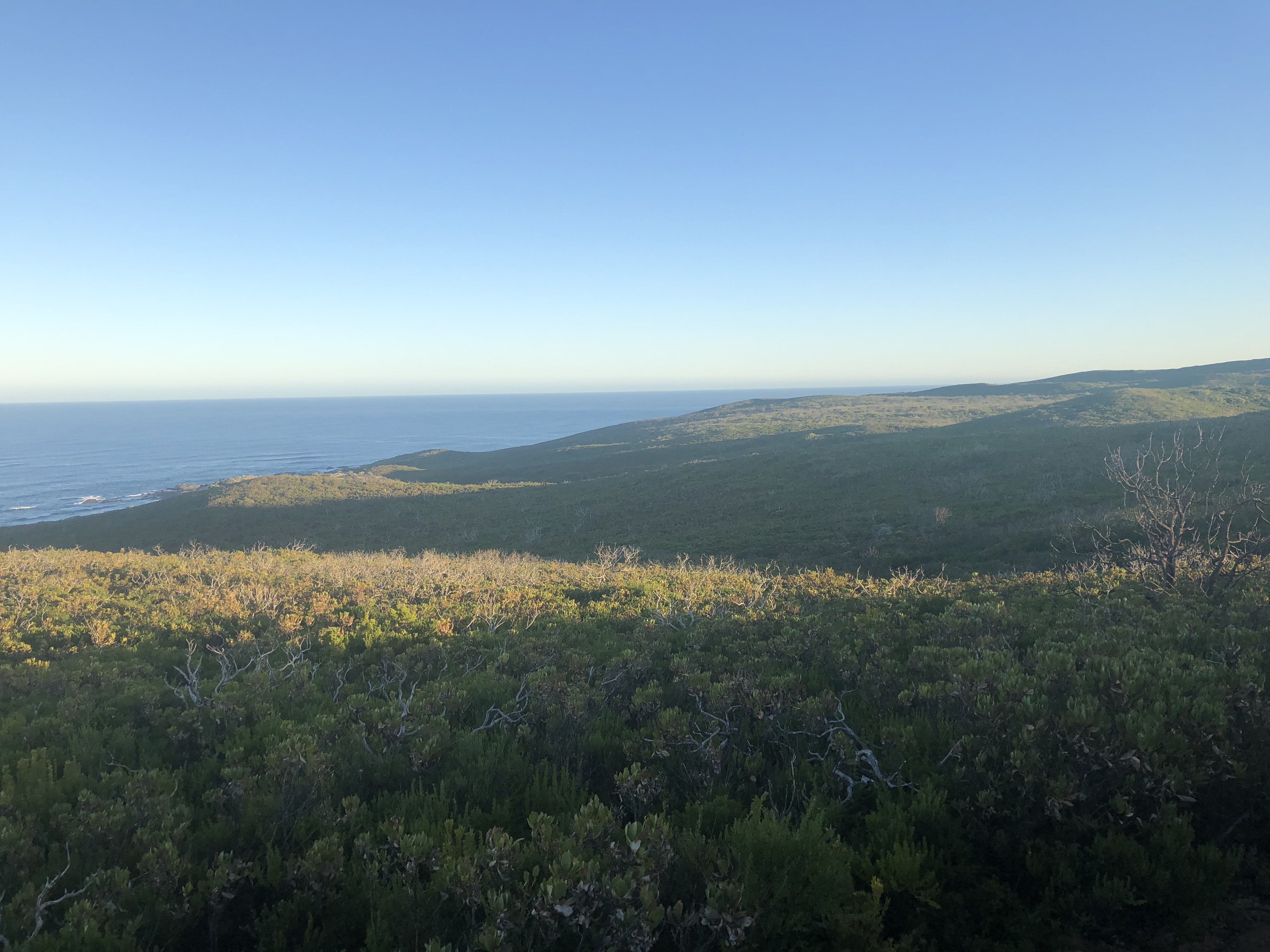
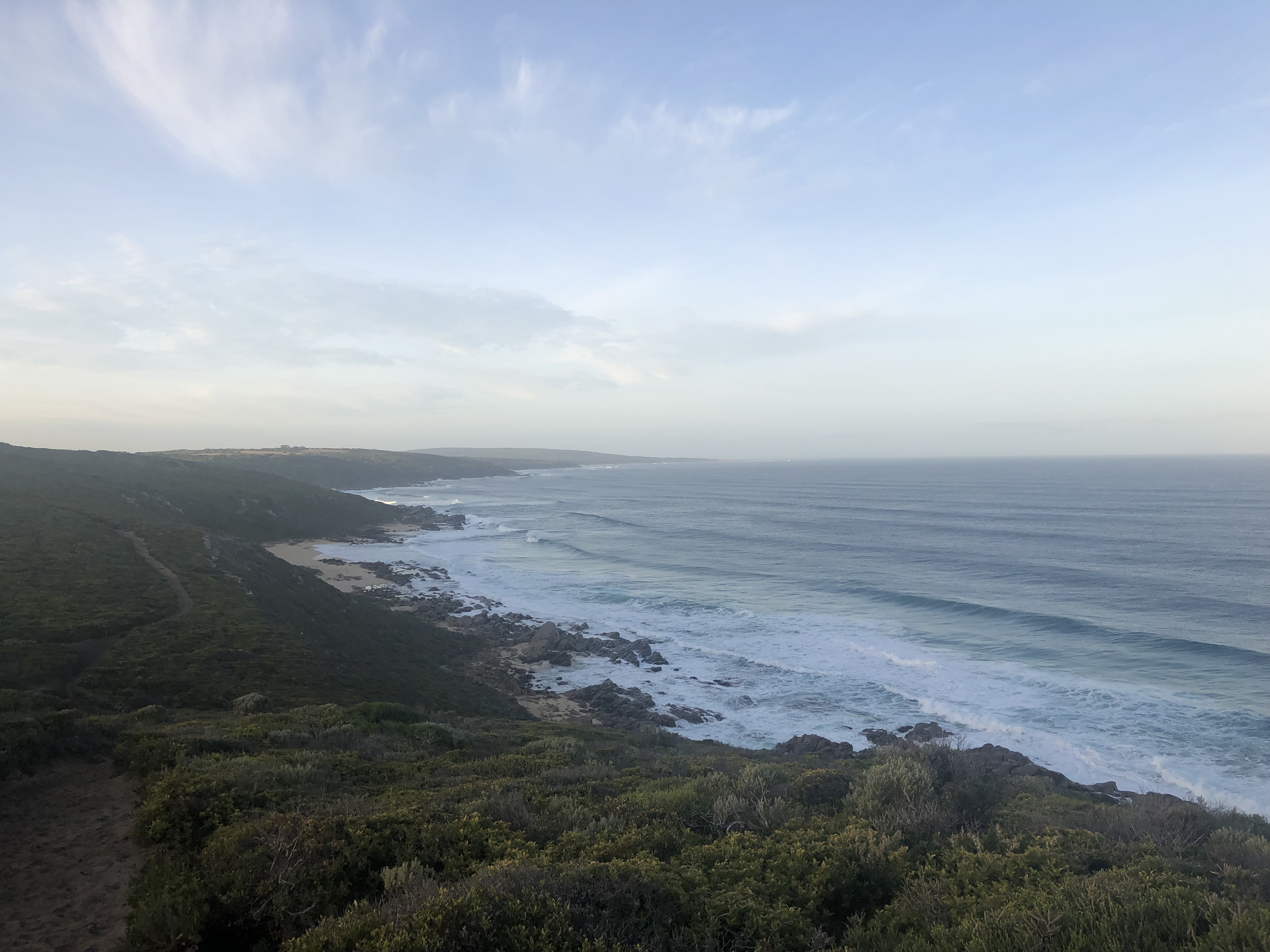
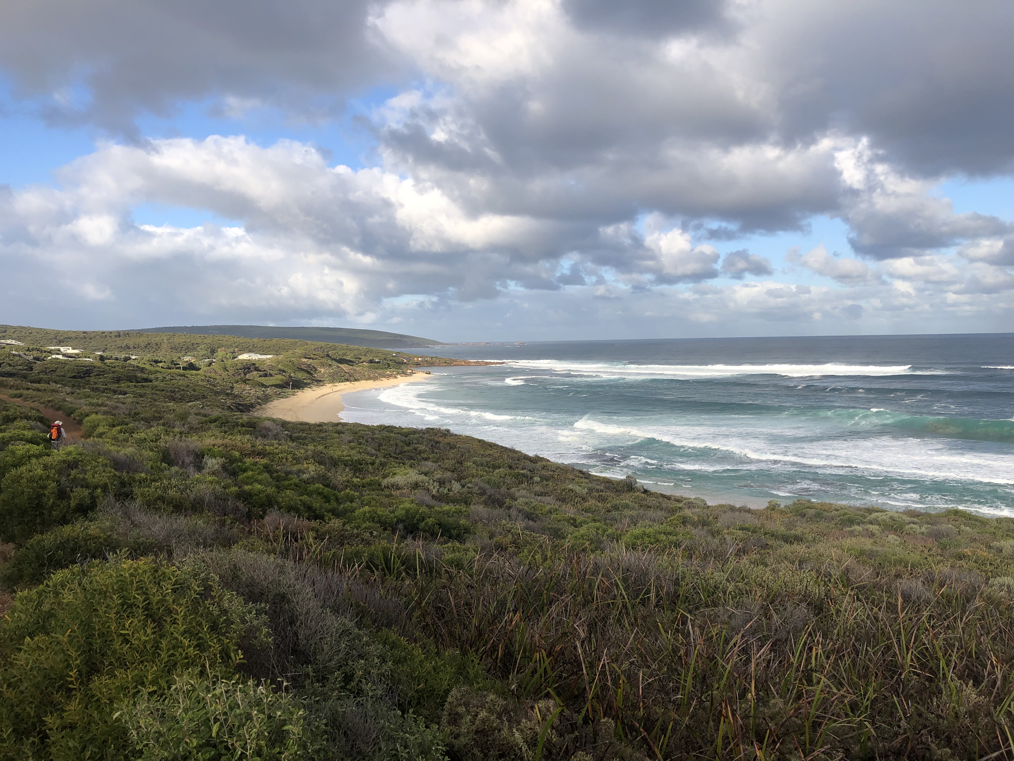
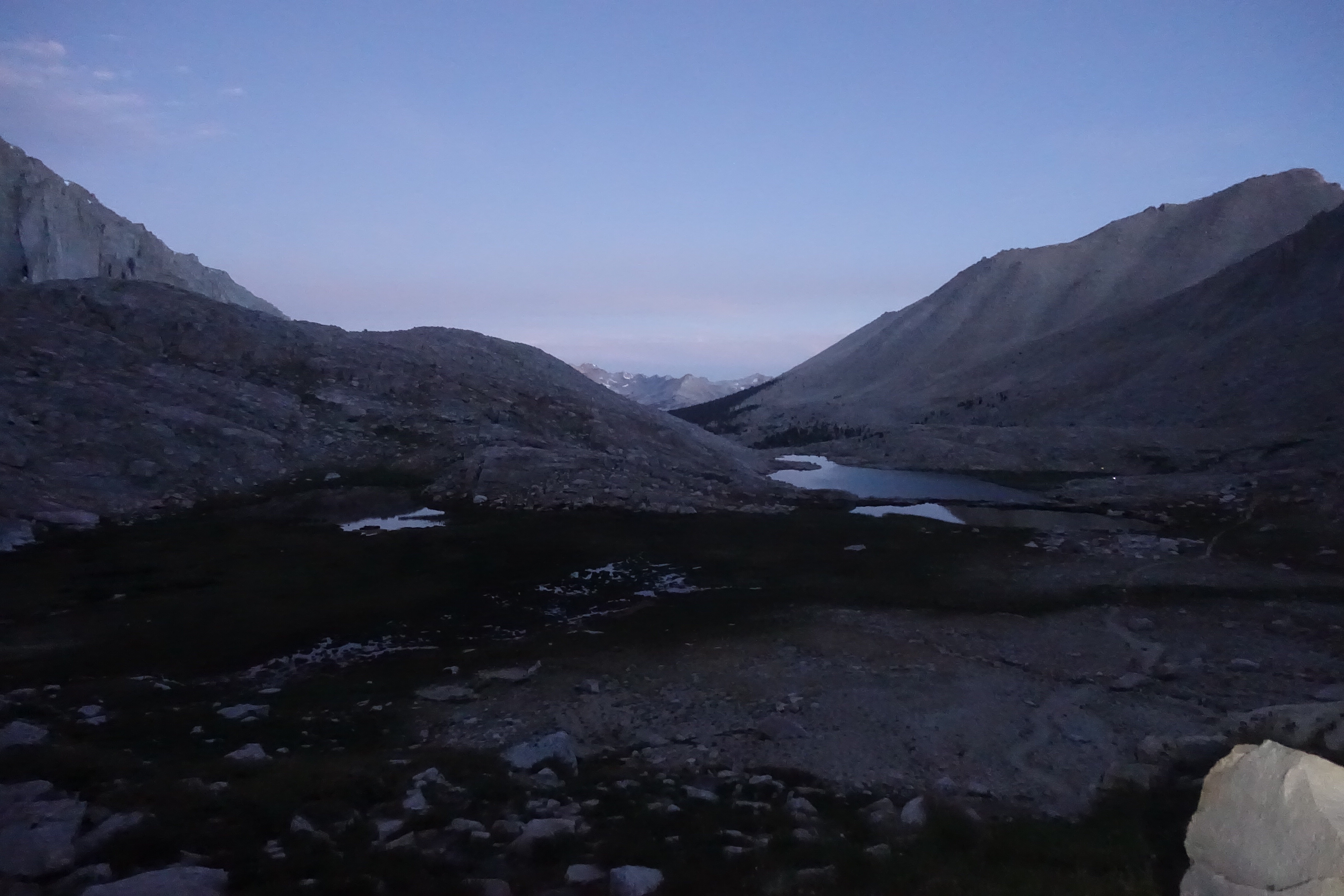
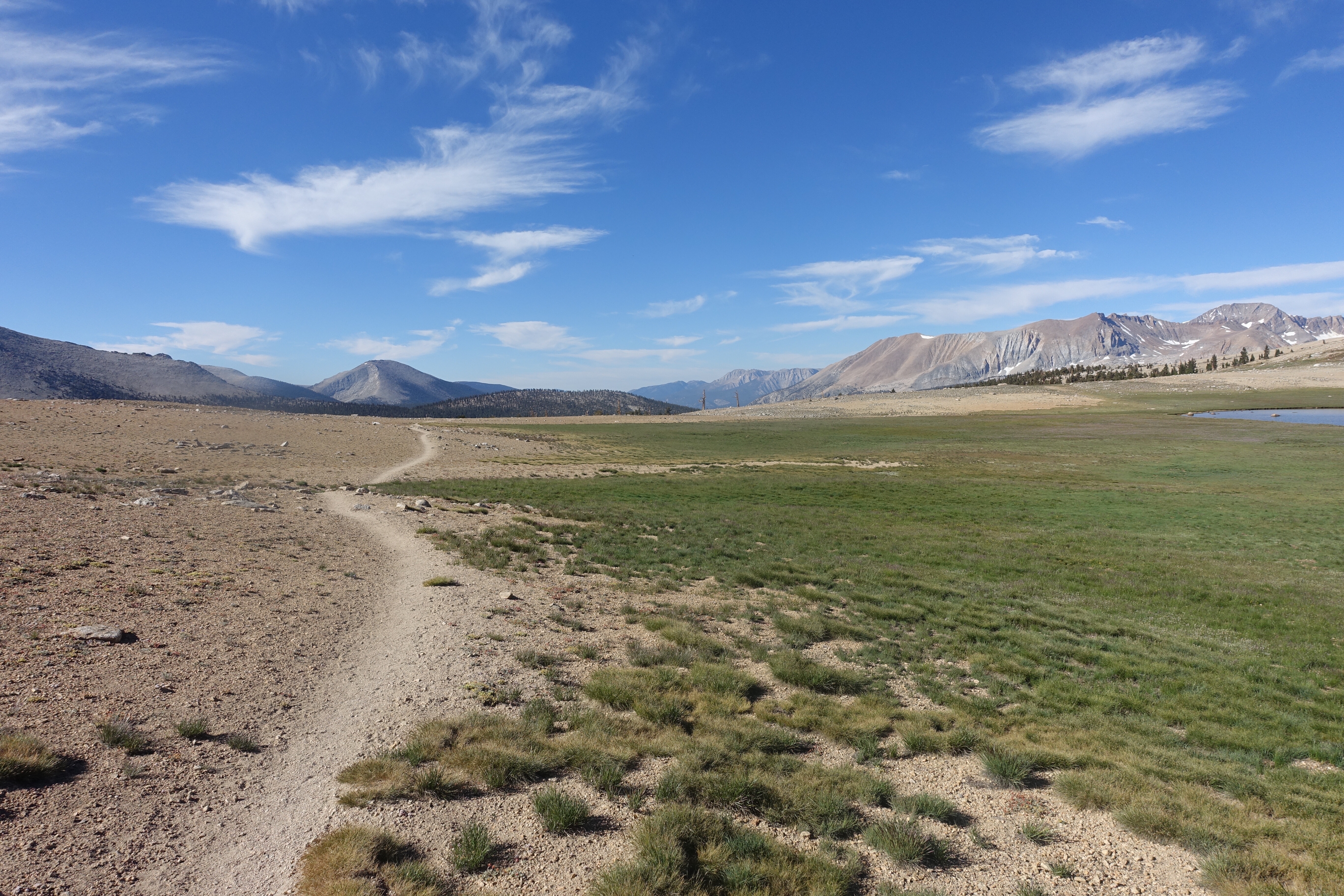
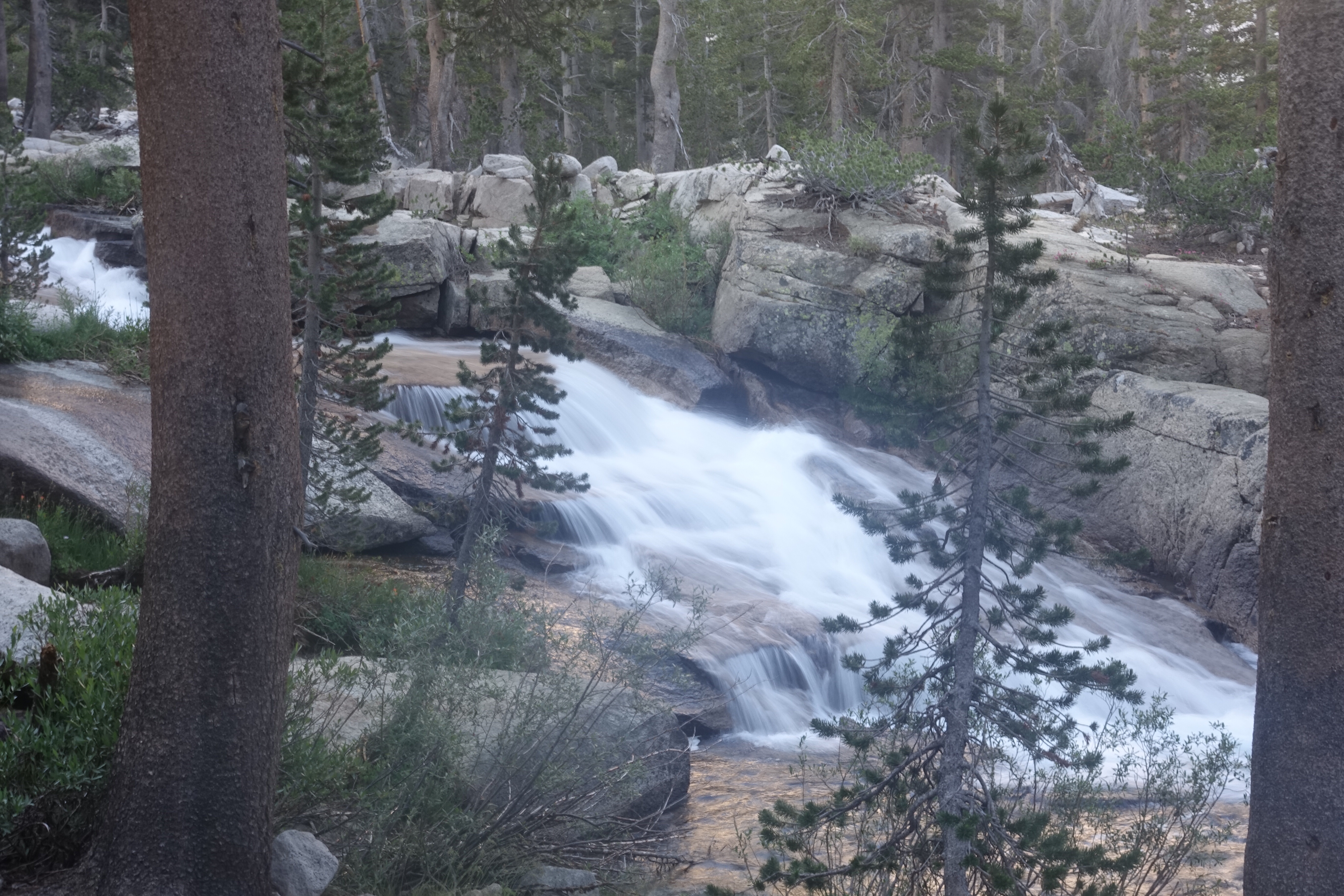
The trail continued through the pine forest for a while before reaching tree line. There were some beautiful views as we climbed up.

Continue reading