Middle Velma Lake to Tamarack Lake
Mileage 13.8 miles, total 126.6 miles
Campsite elevation: 7,875 feet
Today was a great day in all respects and had some of the best scenery I’ve come across whilst hiking.
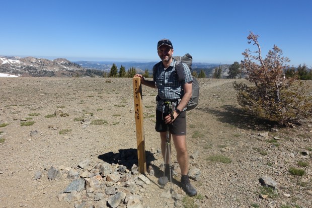
We got going by 7.30 from our campsite at Middle Velma Lake and began our climb up to Dick’s Pass. The climb was fairly uneventful and not too steep, with switchbacks where necessary to make the gradient easier.

We didn’t really know what to expect with Dick’s Pass. All the TRT’ers we had come across had made out that it was the worst part of the trail for snow. Therefore, we were expecting it to be far worse than Relay Peak which we had both found very sketchy with its steep snow slopes.
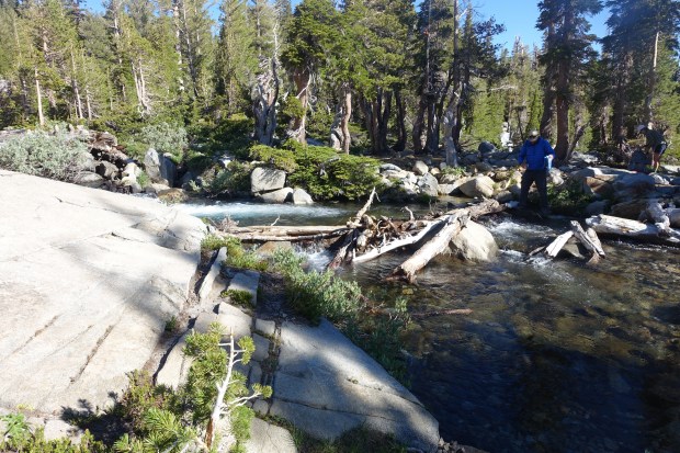
We had a stream crossing on the way up which presented a choice between wading through the water or balancing on a precarious log. After watching several PCT’ers nearly fall in so I decided to take the safe route and wade across the knee deep water.
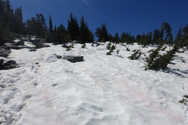
We knew it wasn’t going to be the sketchy snow traverses that people were making out as we got further up towards the top of the pass. We were within half a mile by the time the snow started. There was definitely more snow than we had experienced on Relay Pass but the main difference was the incline. This wasn’t the sort of place where, if you fall, the consequences would be serious which came as a great relief to us.
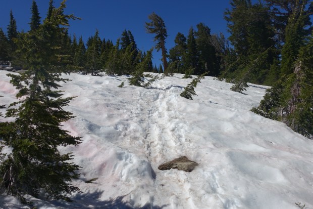
After making our way through the snow fields, we eventually came to the summit of Dick’s Pass. It was clear and free of snow, and once out of the wind, it was actually quite warm. Best of all, there was a mobile signal which meant I could get the blog up and clear some work emails. Yes, work emails. There is no escape no matter where you are.
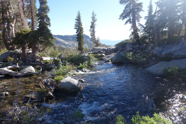
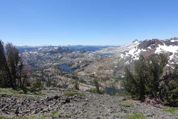
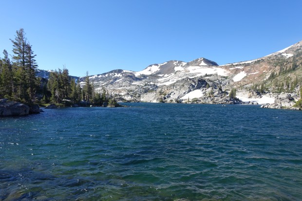
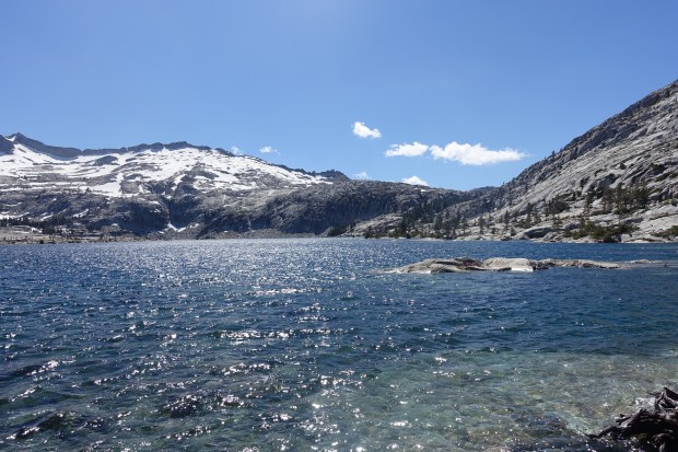
The south side of Dick’s Pass was considerably freer of snow but still very windy. The views were absolutely stunning and, for the first time, we saw the real beauty of Desolation Wilderness. In the distance, we could see Lake Aloha and beneath it Heather and Gilmore Lakes.
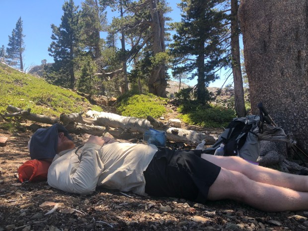
The trail descended down for what seemed like an eternity. The footing was very difficult on the rocky trail and it slowed us down considerably. We stopped for lunch close to the outlet for Suzie Lake so we could grab some water.
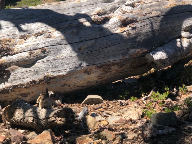
I was joined by an inquisitive squirrel for lunch who was desperate to get his hands on my nuts. Lunch, I mean, as I am allergic to nuts. He proved quite persistent but, like all good squirrels, was reluctant to have his photo taken so the below was the best I could do.
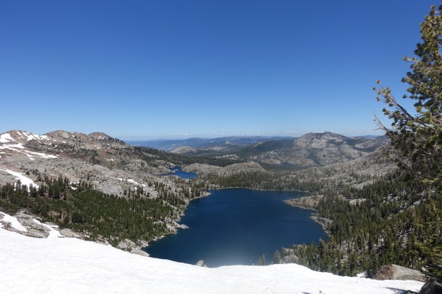
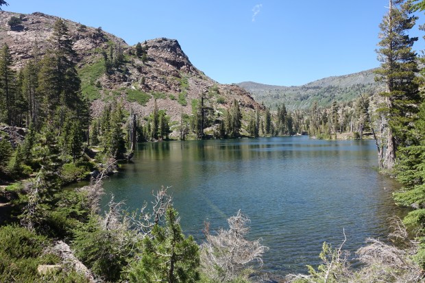
After lunch, we began the long slow climb up towards Lake Aloha. We passed several lakes along the way. They were all stunning in their own way with crystal clear water which plummeted away to unknown depths.
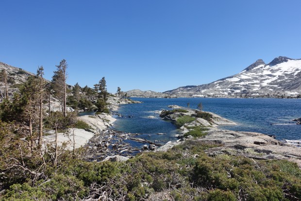
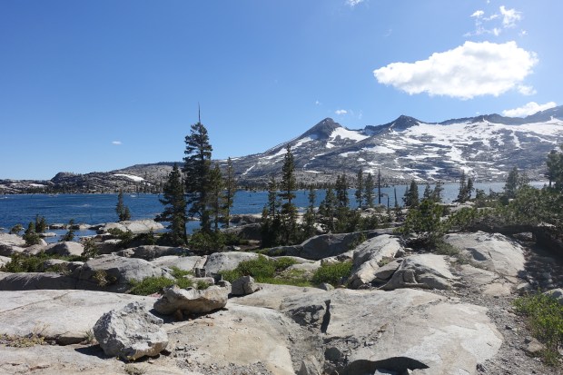
In time, we rounded a final corner and set eyes upon Lake Aloha. Whilst it is the poster child for both the PCT and the TRT, it is completely deserving of that title. Whilst I’ve seen the photos of Lake Aloha before, nothing could compare to walking alongside it. It was a special place and we felt privileged to be there.
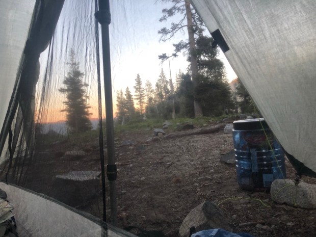
As special as it was, we had to move on. From Lake Aloha, the trail left its shore on its eastern end and began a long slow climb up through pine forest. Eventually, this gave way and, after passing turn offs for several lakes, we reached our destination, Tamarack Lake.
The Lake was full of people who were doing a short overnight up to Lake Aloha and had brought every piece of backpacking equipment possible with them. It looked like something out of Backpacker Magazine and we felt quite sheepish in our apparel stained from 125 miles on the trail.
Fortunately, before long, a young German PCT’er turned up and those who stank suddenly equalled those straight out of the backpacking catalogue. And so we felt at ease.
We have two and a half days left before we finish the Tahoe Rim Trail. Tomorrow and the next day will be challenging high mileage days which we know will be tough. However, knowing that we have no more snow to navigate between here and the finish means we will sleep easy tonight.
