Tahoe City to S of Barker Pass
Mileage: 14.3 miles, total 95.7 miles
Campsite elevation: 8,078 ft
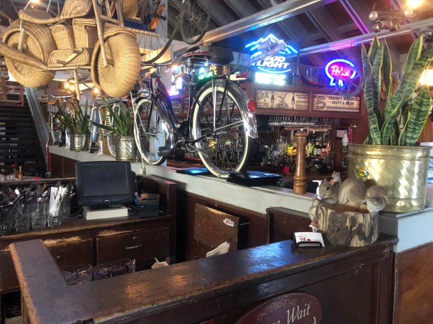
We started the day with breakfast at Rosie’s in town. Tahoe City doesn’t seem to wake up until late so it was pretty dead when we walked in. It was an interesting place with moose heads on the wall.
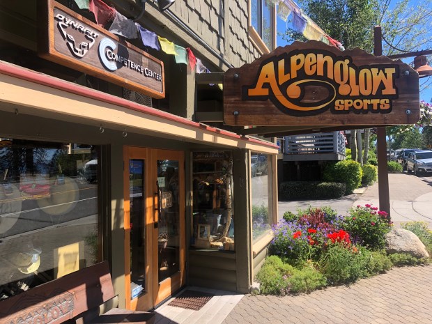
After breakfast, we watched some junk American TV shows and then headed to Alpenglow, a local outdoors store. We asked about snow conditions on Dick’s Pass and whether an ice axe would be required. They were great and said they hadn’t heard of a single person going through in the last three weeks who had required an ice axe.
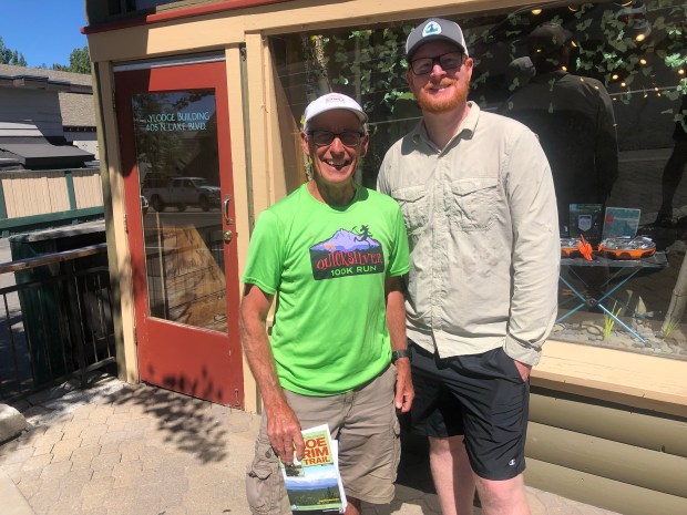
We also had a good chat with a retired guy called Jim who had moved from Northern Ireland in the 1960s and was planning a thru-hike in mid July. We gave him all the information we had from the trail so far.
It was then time to hit the trail. They are doing a lot of construction work around the trailhead so there was a detour in place. It was so confusingly signposted it probably took us 30 minutes longer than it should to exit Tahoe City.
The trail initially followed the Truckee River (which, by the way, has the cleanest water I have ever seen in a river) and then climbed out of Tahoe. It felt great to be back on the trail amongst the pine trees.
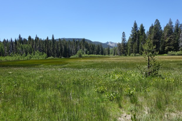
After a few miles, we reached Page Meadows. Although a haven for mosquitoes, it was absolutely stunning with the wildflowers and the grass of the meadows providing a contrast to the mountains behind.
The next few hours, the trail followed Ward Creek eventually crossing it on a small bridge where we had lunch. From there, it was a relentless climb upwards, often without any switchbacks along the trail at all but climbing straight upwards.
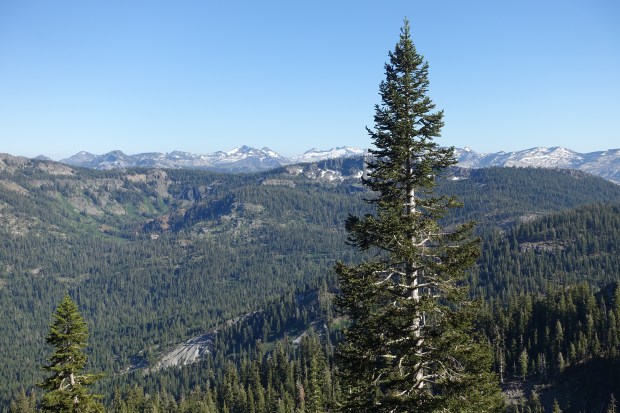
At the top of the climb, we had an amazing view of Twin Peaks which made the long climb worthwhile.
We also bumped into some fellow TRT’ers who let us know that the top couple of miles were covered in snow but that it was eminently passable without ice axes.
From the top, we then descended slightly and joined up with the Pacific Crest Trail which runs from Mexico to Canada. Within minutes of joining the PCT, the foot traffic increased dramatically. From seeing a few thru-hikers a day, suddenly we were seeing lots.
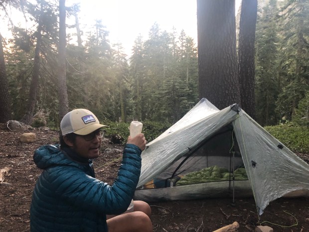
We climbed up towards the North Fork of the Blackwood Creek and asked a few thru-hikers if there were any flat spots up ahead. An older Dutch lady who was hiking the PCT told us we were at the last campsite for a few miles so we decided to call it a day there. Her trail name was Sideways referring to the way she went down hills. We were then also joined by Bill who came to join us by the campfire for dinner. It was great to hear hjs stories and also get a few tips from his 1,200 miles of hiking along the PCT so far.
Tomorrow, we have a 17 – 18 mile day which is designed to set us up nicely for a shorter 12 mile day through the snows of Desolation Wilderness. Looking forward to it.
