Kings River camping area to Wood’s Creek over Pinchot Pass
Mileage: 11.6 miles (18.7 km), total 171.9 miles (276.6 km)
Today was a much easier day over Pinchot Pass which was a far simpler affair than Mather and Muir Passes over the last few days.
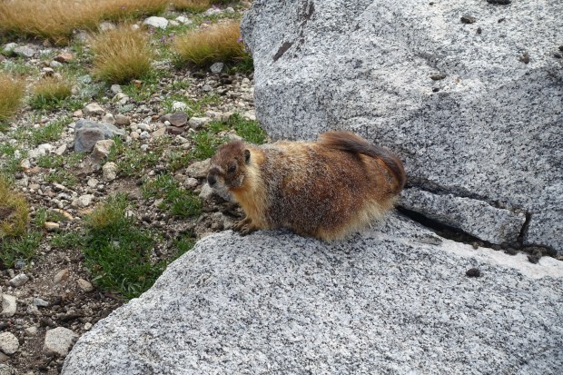
The day started with an easy walk from our campsite towards the pass with a gradual climb to begin with. The weather was beautiful in the morning although it was much colder in the air than it had been on previous days. The marmot below didn’t seem to mind the cold weather much or my getting close to him to take a few photos – he must have thought there was a feed coming.
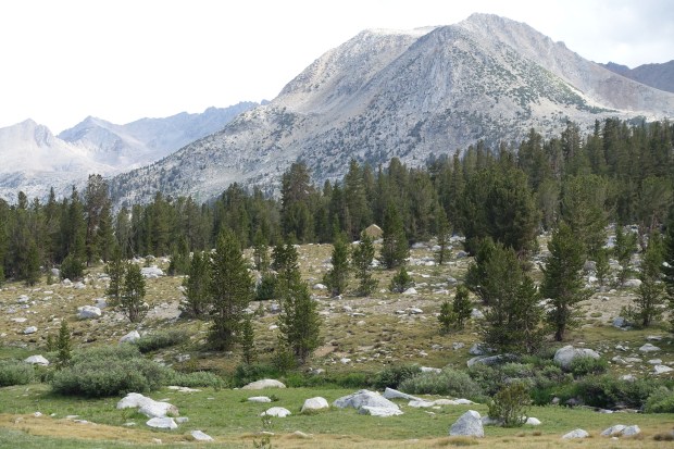
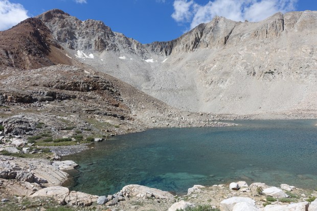
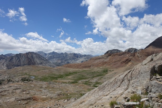
We could see Pinchot Pass ahead of us as we climbed up and passed a couple of beautiful lakes on the right hand side of the trail as we ascended up towards Pinchot including Lake Marjorie. We could also see Mt Pinchot itself just to the left of the Pass.

The walking got much harder as we approached the top of the Pass and our pace slowed considerably . We headed up along the switchbacks. We passed one older hiker who was hiking one of the more challenging trails in the area. It may have been the Sierra High Route but I forget the exact name. He was climbing super slowly and I remember thinking he must have been hiking a long time given some of his route was off-trail.
We eventually reached the top of Pinchot and stopped for a well-earned rest. The hiker we met previously came up and joined us and was kind enough to offer me a bagel and cream cheese he had. He had super dirty hands and I remember thinking afterwards that this was going to make me sick. All good, fortunately!
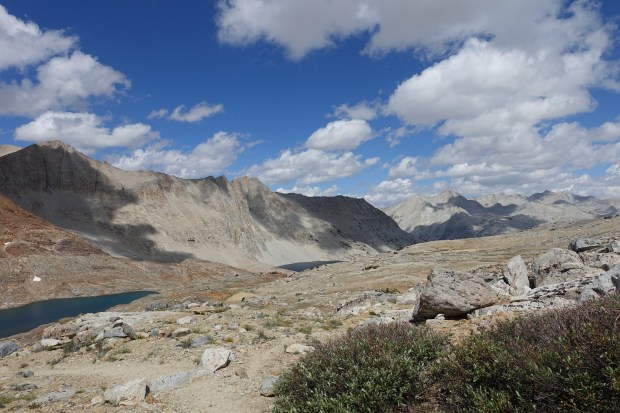
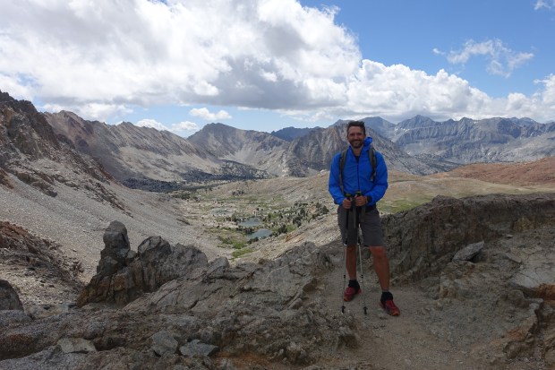
The view from the top of Pinchot was great and it was nice to have conquered another pass (12,130 feet) on our way south to Whitney.
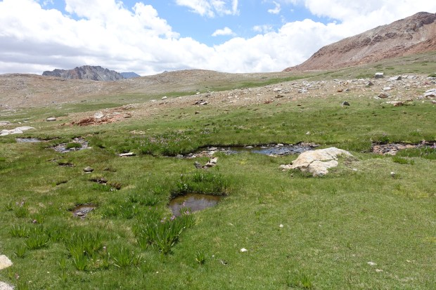
It was then time to head down and the JMT had a long descent down from Pinchot. We passed several little lakes on the way down from Pinchot before descending down into a valley along Wood’s Creek which was on the left hand side.
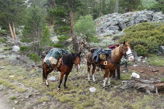
The weather started to close in around us as we descended down Wood’s Creek. We met a lady with some horses who had done the majority of the PCT up until this point. She viewed us warily for some reason but warmed up a bit once we had a good chat with her. Being super-allergic, I gave her horses a very wide berth!
It was out with the rain jackets as we kept going and it began to rain quite heavily. The descent seemed to drag on and on even though it was a short day and every hiker we met told us the camping area was ‘right around the corner’.
We were glad to eventually reach Wood’s Creek camping area by the suspension bridge which would be our home for the night.

The camping area but fairly crowded but we found two spots to put up our tents. A thunderstorm was threatening and shortly after it absolutely tipped it down. After a few minutes, water began to pour down the surrounding slopes and around the tent area.
We got out of the tents and put rain gear on and started to dig trenches around our tents to allow the water to drain. This strategy worked quite well for me but Ben’s tent was in the worst of it. I could hear the occasional ‘Oh no…’ as the area around his tent became inundated. At one point, he had a good few inches of water around the bathtub floor. However, the cuben floor on his Zpacks Solplex held firm and no water got inside the tent.
The rain basically trashed the camping area and all around us hikers were packing up their gear into their packs as their tents failed to keep them dry. I also had a Solplex and was really happy with how it held up in the storm. The rain went on for hours but eventually lessened enough that we were able to exit our tents and chat with some of the other hikers. It was a good example of the importance of site selection and it was good to see everyone was starting to get themselves a bit more organised and keeping their gear dry as the rain continued.
After the short lessening of the rain, it started to get heavier again so everyone settled back into their tents for the night in the hope of keeping warm and dry.
